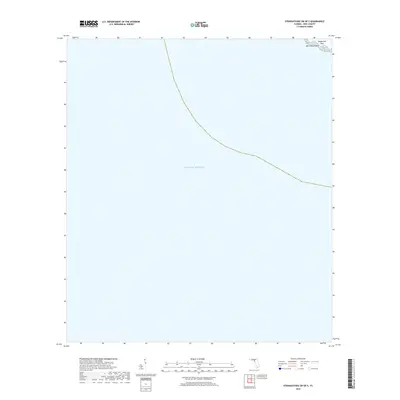
2018 Map of Steinhatchee SW OE S
USGS Topo · Published 2018About this map
Gulf of Mexico waters dominate this coastal survey along the Dixie County shoreline. The map focuses on the delicate transition between the open sea and the Florida coast, where the Pepperfish Keys and Big Grassy Island emerge as significant landforms. These features are part of a shallow maritime environment characterized by intricate shorelines and small islands that have long defined the navigation and fishing heritage of this region. The lack of inland development on this specific sheet highlights the natural state of the coastline during the late 2010s, offering a clear view of the primary hydrographic features and landmasses before any further environmental or sea-level shifts.
Find a feature on this map
3 named features on this map. Tap any name to fly to it.
Don’t see what you’re looking for? This feature index may not catch every label — zoom into the map to look around manually.
Map Details
Editions of this 2018 Steinhatchee SW OE S Map
This is the sole edition of this map. No revisions or reprints were ever made.
Other maps of this area

1954 · Steinhatchee SW
USGS Topo · 1:24,000

1954 · Steinhatchee SE
USGS Topo · 1:24,000

1954 · Horseshoe Beach
USGS Topo · 1:24,000

1954 · Gainesville
USGS Topo · 1:250,000

1958 · Gainesville
USGS Topo · 1:250,000

1959 · Gainesville
USGS Topo · 1:250,000

1978 · Cedar Keys
USGS Topo · 1:100,000
1978 · Cross City
USGS Topo · 1:100,000
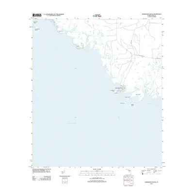
2012 · Horseshoe Beach
USGS Topo · 1:24,000
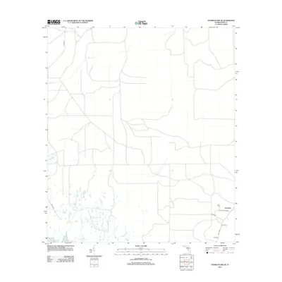
2012 · Steinhatchee SE
USGS Topo · 1:24,000