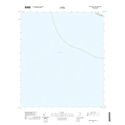
2021 Map of Steinhatchee SW OE S
USGS Topo · Published 2021About this map
The vast expanse of the Gulf of Mexico dominates this coastal survey, where the terrestrial world meets the open sea along the marshy edges of Dixie County. In the upper right corner, the island-dotted coastline reveals Big Grassy Island and the Pepperfish Keys, representing the fragmented and shifting geography of the Florida Big Bend. This specific map, a 2021 edition of the Steinhatchee SW OE S quadrangle, provides a clear view of these maritime landmarks as they appeared in the early 21st century. The isolation of these features emphasizes the untouched nature of this stretch of coastline, largely devoid of heavy development and instead defined by the natural contours of the tide and sea.
Find a feature on this map
3 named features on this map. Tap any name to fly to it.
Don’t see what you’re looking for? This feature index may not catch every label — zoom into the map to look around manually.
Map Details
Editions of this 2021 Steinhatchee SW OE S Map
This is the sole edition of this map. No revisions or reprints were ever made.
Other maps of this area

1954 · Steinhatchee SW
USGS Topo · 1:24,000

1954 · Steinhatchee SE
USGS Topo · 1:24,000

1954 · Horseshoe Beach
USGS Topo · 1:24,000

1954 · Gainesville
USGS Topo · 1:250,000

1958 · Gainesville
USGS Topo · 1:250,000

1959 · Gainesville
USGS Topo · 1:250,000

1978 · Cedar Keys
USGS Topo · 1:100,000
1978 · Cross City
USGS Topo · 1:100,000
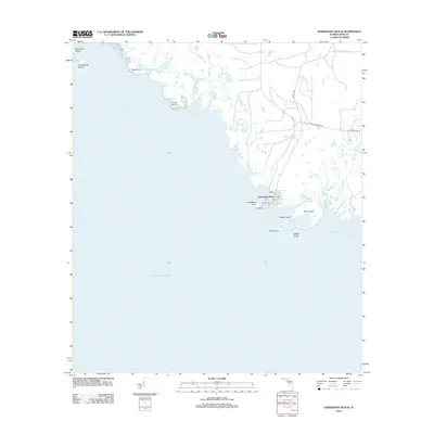
2012 · Horseshoe Beach
USGS Topo · 1:24,000
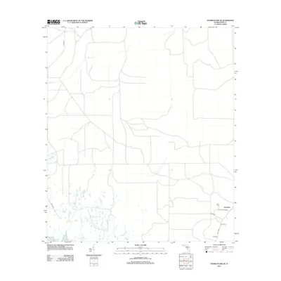
2012 · Steinhatchee SE
USGS Topo · 1:24,000