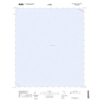
2024 Map of Steinhatchee SW OE S
USGS Topo · Published 2024About this map
Pepperfish Keys and Big Grassy Island emerge as small, isolated outposts in the northeastern corner of this coastal survey. Most of the area is occupied by the open waters of the Gulf of Mexico, providing a detailed look at the maritime geography off the Dixie County shoreline. This specific sheet focuses on the transition from the shallow coastal shelf to deeper waters, documenting the precise position of these small landforms in relation to the Florida coast. The map is primarily a hydrographic and nautical study, tracing the subtle underwater contours and shoreline variations in a region defined by its marine environment rather than inland development.
Find a feature on this map
3 named features on this map. Tap any name to fly to it.
Don’t see what you’re looking for? This feature index may not catch every label — zoom into the map to look around manually.
Map Details
Editions of this 2024 Steinhatchee SW OE S Map
This is the sole edition of this map. No revisions or reprints were ever made.
Other maps of this area

1954 · Steinhatchee SW
USGS Topo · 1:24,000

1954 · Steinhatchee SE
USGS Topo · 1:24,000

1954 · Horseshoe Beach
USGS Topo · 1:24,000

1954 · Gainesville
USGS Topo · 1:250,000

1958 · Gainesville
USGS Topo · 1:250,000

1959 · Gainesville
USGS Topo · 1:250,000

1978 · Cedar Keys
USGS Topo · 1:100,000
1978 · Cross City
USGS Topo · 1:100,000
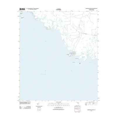
2012 · Horseshoe Beach
USGS Topo · 1:24,000
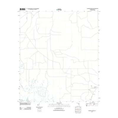
2012 · Steinhatchee SE
USGS Topo · 1:24,000