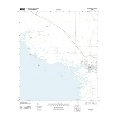
2012 Map of Steinhatchee
USGS Topo · Published 2012About this map
Steinhatchee and neighboring Steward City sit at the mouth of the Steinhatchee River, serving as a primary focal point for this coastal Florida landscape. The 2012 survey illustrates a dense grid of residential streets like Allen Ln and Stewart Dr clustered where the river meets Deadman Bay. Moving northwest along the coastline of the Gulf of Mexico, the settlement pattern gives way to a network of tidal creeks and marshy features including Jack Cr, Salt Cr, and the isolated Dallus Creek Landing.
Find a feature on this map
51 named features on this map. Tap any name to fly to it.
Don’t see what you’re looking for? This feature index may not catch every label — zoom into the map to look around manually.
Map Details
Editions of this 2012 Steinhatchee Map
This is the sole edition of this map. No revisions or reprints were ever made.
Other maps of this area

1954 · Steinhatchee SW
USGS Topo · 1:24,000

1954 · Clara
USGS Topo · 1:24,000

1954 · Salem SW
USGS Topo · 1:24,000

1954 · Jena
USGS Topo · 1:24,000

1954 · Steinhatchee
USGS Topo · 1:24,000

1954 · Steinhatchee SE
USGS Topo · 1:24,000

1954 · Keaton Beach
USGS Topo · 1:24,000

1954 · Crooked Point
USGS Topo · 1:24,000

1954 · Gainesville
USGS Topo · 1:250,000

1958 · Gainesville
USGS Topo · 1:250,000