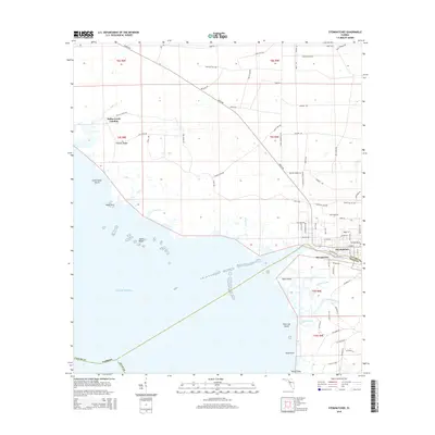
2015 Map of Steinhatchee
USGS Topo · Published 2015About this map
Steinhatchee and Stewart City anchor the mouth of the river along the Taylor-Dixie county line, where the coastal wetlands meet the Gulf of Mexico. This coastal landscape is defined by a intricate network of tidal creeks and landings, including Dallus Creek Landing and the sheltered waters of Jack Creek and Porpoise Creek. The transition from the marshy interior to the open sea is marked by several named islands and hazards, such as Little Grass Island, Pine Log Island, and the extensive Shell Reefs.
Find a feature on this map
84 named features on this map. Tap any name to fly to it.
Don’t see what you’re looking for? This feature index may not catch every label — zoom into the map to look around manually.
Map Details
Editions of this 2015 Steinhatchee Map
This is the sole edition of this map. No revisions or reprints were ever made.
Other maps of this area

1954 · Steinhatchee SW
USGS Topo · 1:24,000

1954 · Clara
USGS Topo · 1:24,000

1954 · Salem SW
USGS Topo · 1:24,000

1954 · Jena
USGS Topo · 1:24,000

1954 · Steinhatchee
USGS Topo · 1:24,000

1954 · Steinhatchee SE
USGS Topo · 1:24,000

1954 · Keaton Beach
USGS Topo · 1:24,000

1954 · Crooked Point
USGS Topo · 1:24,000

1954 · Gainesville
USGS Topo · 1:250,000

1958 · Gainesville
USGS Topo · 1:250,000