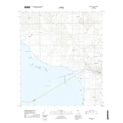
2018 Map of Steinhatchee
USGS Topo · Published 2018About this map
Steinhatchee sits at the transition between the freshwater systems of the Big Bend and the open waters of the Gulf of Mexico. This 2018 survey details the coastal geography where the Steinhatchee River marks the jurisdictional line between Taylor and Dixie counties. The landscape is defined by vast maritime wetlands and low-lying features such as Hickory Ridge and Little Grass Island, illustrating the complex hydrology of the Florida coast.
Find a feature on this map
47 named features on this map. Tap any name to fly to it.
Don’t see what you’re looking for? This feature index may not catch every label — zoom into the map to look around manually.
Map Details
Editions of this 2018 Steinhatchee Map
This is the sole edition of this map. No revisions or reprints were ever made.
Other maps of this area

1954 · Steinhatchee SW
USGS Topo · 1:24,000

1954 · Clara
USGS Topo · 1:24,000

1954 · Salem SW
USGS Topo · 1:24,000

1954 · Jena
USGS Topo · 1:24,000

1954 · Steinhatchee
USGS Topo · 1:24,000

1954 · Steinhatchee SE
USGS Topo · 1:24,000

1954 · Keaton Beach
USGS Topo · 1:24,000

1954 · Crooked Point
USGS Topo · 1:24,000

1954 · Gainesville
USGS Topo · 1:250,000

1958 · Gainesville
USGS Topo · 1:250,000