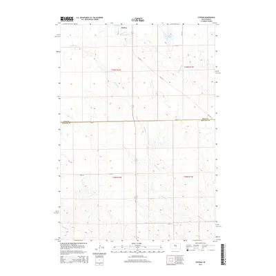
2015 Map of Stephan
USGS Topo · Published 2015About this map
Stephan sits at the northern edge of this high plains landscape, situated near the headwaters of W Fork Elm Cr. The terrain is defined by a dendritic drainage pattern where intermittent streams like Campbell Cr and Soldier Cr carve through the prairie towards the Missouri River valley. Small water bodies including Lake Ambrose and Lake Boehm punctuate the northern sections, providing vital water points in this arid agricultural region.
Find a feature on this map
17 named features on this map. Tap any name to fly to it.
Don’t see what you’re looking for? This feature index may not catch every label — zoom into the map to look around manually.
Map Details
Editions of this 2015 Stephan Map
This is the sole edition of this map. No revisions or reprints were ever made.
Other maps of this area

1953 · Huron
USGS Topo · 1:250,000

1954 · Huron
USGS Topo · 1:250,000

1966 · Big Bend Dam NE
USGS Topo · 1:24,000

1966 · Big Bend Dam SE
USGS Topo · 1:24,000

1966 · Stephan
USGS Topo · 1:24,000

1966 · Big Bend Dam
USGS Topo · 1:24,000

1966 · Lower Brule NE
USGS Topo · 1:24,000

1966 · Lower Brule
USGS Topo · 1:24,000

1973 · Chapelle Lake SE
USGS Topo · 1:24,000

1973 · Macs Corner SE
USGS Topo · 1:24,000
Featured Places
- Fort Thompson District, SD
- Grey Hill East Township, Fort Thompson District
- Grey Hill West Township, Fort Thompson District
- Stephan, Fort Thompson District
- Buffalo County, SD