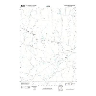
2010 Map of Stephentown Center
USGS Topo · Published 2010About this map
The Black River and Kinderhook Creek define the drainage of this Rensselaer County landscape, where small hamlets are connected by a network of winding roads like Brainard Rd and S Stephentown Rd. Settled pockets including Dunham Hollow, West Stephentown, and Stephentown Center are dispersed among a series of named peaks such as Johnson Hill, Pomeroy Hill, and Turner Mountain. These hillsides harbor deep local history, preserved in sites like Hillside Cemetery and Presbyterian Hill Cemetery.
Find a feature on this map
76 named features on this map. Tap any name to fly to it.
Don’t see what you’re looking for? This feature index may not catch every label — zoom into the map to look around manually.
Map Details
Editions of this 2010 Stephentown Center Map
This is the sole edition of this map. No revisions or reprints were ever made.
Other maps of this area

1888 · Berlin
USGS Topo · 1:62,500

1888 · Pittsfield
USGS Topo · 1:62,500

1890 · Pittsfield
USGS Topo · 1:62,500

1890 · Berlin
USGS Topo · 1:62,500

1893 · Troy
USGS Topo · 1:62,500

1893 · Pittsfield
USGS Topo · 1:62,500

1894 · Berlin
USGS Topo · 1:62,500

1894 · Pittsfield
USGS Topo · 1:62,500

1895 · Troy
USGS Topo · 1:62,500

1897 · Pittsfield
USGS Topo · 1:62,500