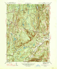
1947 Map of Stephentown Center
USGS Topo · Published 1947About this map
Rensselaer Co Capital District Forest and Game Refuge dominates the northern uplands of this mid-century survey, a landscape defined by narrow valley settlements and high-elevation lookout points like the Seven Hill Fire Tower. The eastern edge of the quadrangle is marked by the path of the Rutland railroad, which follows the corridor near Stephentown. The hydrology of the region is notably complex, with numerous small impoundments such as Stone Bridge Pond and Stump Pond feeding into larger drainage systems like Kinderhook Creek and the Black River. For genealogists and local historians, the map provides precise locations for several rural burial grounds, including Hillside Cem near West Stephentown and the Presbyterian Hill Cem to the south. These cemeteries, alongside scattered hamlets like Dunham Hollow and Garfield, illustrate the early 20th-century settlement pattern before post-war suburbanization altered the Rensselaer County countryside.
Find a feature on this map
38 named features on this map. Tap any name to fly to it.
Don’t see what you’re looking for? This feature index may not catch every label — zoom into the map to look around manually.
Map Details
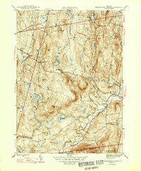
Editions of this 1947 Stephentown Center Map
2 editions found
Other maps of this area

1888 · Berlin
USGS Topo · 1:62,500

1888 · Pittsfield
USGS Topo · 1:62,500

1890 · Pittsfield
USGS Topo · 1:62,500

1890 · Berlin
USGS Topo · 1:62,500

1893 · Troy
USGS Topo · 1:62,500

1893 · Pittsfield
USGS Topo · 1:62,500

1894 · Berlin
USGS Topo · 1:62,500

1894 · Pittsfield
USGS Topo · 1:62,500

1895 · Troy
USGS Topo · 1:62,500

1897 · Pittsfield
USGS Topo · 1:62,500