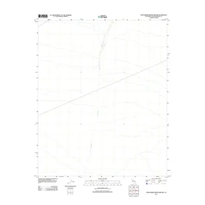
2012 Map of Stepladder Mountains NW
USGS Topo · Published 2012About this map
Homer Wash bisects this San Bernardino County landscape, carving a prominent north-south drainage through the eastern Mojave Desert. This 2012 survey by the U.S. Geological Survey reflects the arid character of the Stepladder Mountains NW area, where topographic lines reveal a gradual slope from the high northwest towards the lower elevations of the wash. The scarcity of named landmarks underscores the isolation of this desert environment, focusing attention on the natural hydrology and the subtle desert contours that define the region's physical geography.
Find a feature on this map
1 named feature on this map. Tap any name to fly to it.
Don’t see what you’re looking for? This feature index may not catch every label — zoom into the map to look around manually.
Map Details
Editions of this 2012 Stepladder Mountains NW Map
This is the sole edition of this map. No revisions or reprints were ever made.
Other maps of this area

1942 · Amboy
USGS Topo · 1:250,000

1943 · Center Hills
USGS Topo · 1:62,500

1943 · Amboy
USGS Topo · 1:250,000

1943 · Essex
USGS Topo · 1:62,500

1943 · Fenner
USGS Topo · 1:62,500

1943 · Bannock
USGS Topo · 1:62,500

1954 · Needles
USGS Topo · 1:250,000

1956 · Needles
USGS Topo · 1:250,000

1956 · Fenner
USGS Topo · 1:62,500

1956 · Essex
USGS Topo · 1:62,500