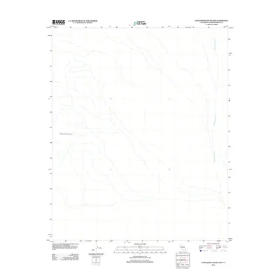
2012 Map of Stepladder Mountains
USGS Topo · Published 2012About this map
The Stepladder Mountains dominate this 2012 topographic landscape in San Bernardino County, where drainage patterns define the arid environment. A network of ephemeral streams flows eastward from the mountain slopes toward the Chemehuevi Wash, which serves as the primary hydrological artery for this section of the Mojave Desert. The map reveals the intricate natural drainage system formed by the terrain, illustrating how seasonal water runoff has carved the desert floor over time. While the region is largely undeveloped, the presence of these distinct geological and hydrological features provides a detailed look at the physical geography of the California desert as it was documented in the early 21st century.
Find a feature on this map
2 named features on this map. Tap any name to fly to it.
Don’t see what you’re looking for? This feature index may not catch every label — zoom into the map to look around manually.
Map Details
Editions of this 2012 Stepladder Mountains Map
This is the sole edition of this map. No revisions or reprints were ever made.
Other maps of this area

1903 · Needles
USGS Topo · 1:125,000

1904 · Needles Special
USGS Topo · 1:125,000

1943 · Center Hills
USGS Topo · 1:62,500

1943 · Turtle Mts.
USGS Topo · 1:62,500

1950 · Sawtooth Range
USGS Topo · 1:62,500

1950 · Savahia Peak
USGS Topo · 1:62,500

1951 · Savahia Peak
USGS Topo · 1:62,500

1951 · Sawtooth Range
USGS Topo · 1:62,500

1954 · Needles
USGS Topo · 1:250,000

1954 · Turtle Mountains
USGS Topo · 1:62,500