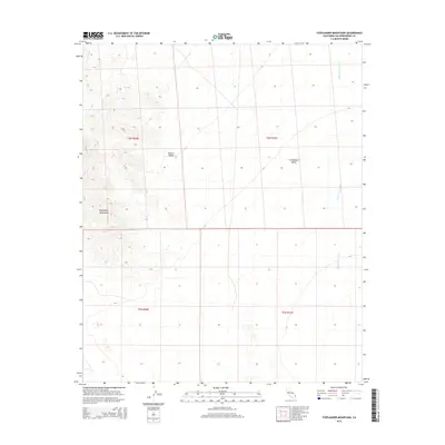
2015 Map of Stepladder Mountains
USGS Topo · Published 2015About this map
Stepladder Mountains rise from the arid floor of the Mojave Desert in this detailed eastern California survey. The map depicts a stark, arid landscape dominated by the broad Chemehuevi Valley and the dendritic drainage patterns of Chemehuevi Wash as it flows toward the eastern margin of the quadrangle. As a modern digital-era survey, this sheet provides a clear view of the topographic contours and Public Land Survey System (PLSS) townships, including t6n r20e and t5n r21e. The lack of human settlements or named structures underscores the environmental character of this section of San Bernardino County, where terrain and drainage are the primary features of interest for those studying desert geography or planning modern expeditions through the region.
Find a feature on this map
8 named features on this map. Tap any name to fly to it.
Don’t see what you’re looking for? This feature index may not catch every label — zoom into the map to look around manually.
Map Details
Editions of this 2015 Stepladder Mountains Map
This is the sole edition of this map. No revisions or reprints were ever made.
Other maps of this area

1903 · Needles
USGS Topo · 1:125,000

1904 · Needles Special
USGS Topo · 1:125,000

1943 · Center Hills
USGS Topo · 1:62,500

1943 · Turtle Mts.
USGS Topo · 1:62,500

1950 · Sawtooth Range
USGS Topo · 1:62,500

1950 · Savahia Peak
USGS Topo · 1:62,500

1951 · Savahia Peak
USGS Topo · 1:62,500

1951 · Sawtooth Range
USGS Topo · 1:62,500

1954 · Needles
USGS Topo · 1:250,000

1954 · Turtle Mountains
USGS Topo · 1:62,500