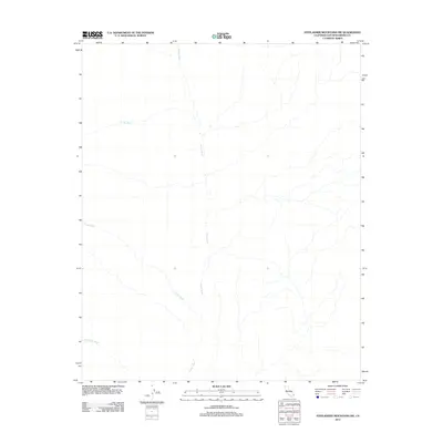
2012 Map of Stepladder Mountains SW
USGS Topo · Published 2012About this map
Homer Wash serves as the primary drainage corridor through this arid corner of San Bernardino County, where a network of ephemeral watercourses defines the landscape. The geography is characterized by the convergence of several major alluvial channels, including Big Wash and Colton Wash, which carry seasonal runoff across the desert floor toward the lower reaches of the quadrangle. In the southwestern portion, Sunflower Wash adds to the complex system of dry beds that carve through the alluvial fans. This 2012 survey illustrates the natural hydrological patterns of the Mojave region before any significant modern development or road networks reached this specific tract, preserving a record of the primitive desert drainage systems as they existed in the early twenty-first century.
Find a feature on this map
4 named features on this map. Tap any name to fly to it.
Don’t see what you’re looking for? This feature index may not catch every label — zoom into the map to look around manually.
Map Details
Editions of this 2012 Stepladder Mountains SW Map
This is the sole edition of this map. No revisions or reprints were ever made.
Other maps of this area

1942 · Amboy
USGS Topo · 1:250,000

1943 · Center Hills
USGS Topo · 1:62,500

1943 · Amboy
USGS Topo · 1:250,000

1943 · Essex
USGS Topo · 1:62,500

1943 · Turtle Mts.
USGS Topo · 1:62,500

1954 · Needles
USGS Topo · 1:250,000

1954 · Turtle Mountains
USGS Topo · 1:62,500

1956 · Needles
USGS Topo · 1:250,000

1956 · Milligan
USGS Topo · 1:62,500

1956 · Essex
USGS Topo · 1:62,500