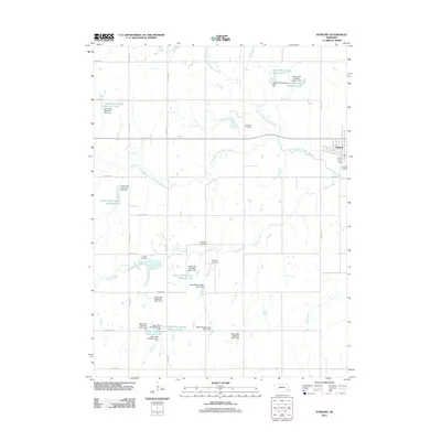
2021 Map of Sterling
USGS Topo · Published 2021About this map
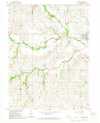
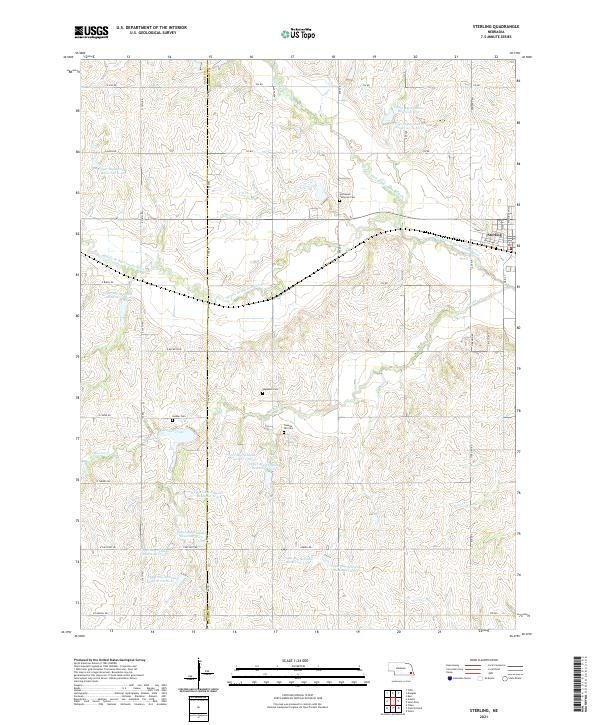
Sterling serves as the primary hub of this eastern Nebraska landscape, situated along the North Fork Big Nemaha River. The surrounding terrain is heavily defined by the upper reaches of the Big Nemaha watershed, where numerous water management features like Upper Big Nemaha Reservoir G-12 and Upper Big Nemaha Reservoir J-34 dot the rolling agricultural sections. The map reveals a high concentration of community landmarks essential for local history research, particularly along the border of Gage Co and Johnson Co.
Find a feature on this map
58 named features on this map. Tap any name to fly to it.
Don’t see what you’re looking for? This feature index may not catch every label — zoom into the map to look around manually.
Map Details
Editions of this 2021 Sterling Map
This is the sole edition of this map. No revisions or reprints were ever made.
Historical Maps of Sterling Through Time
5 maps found