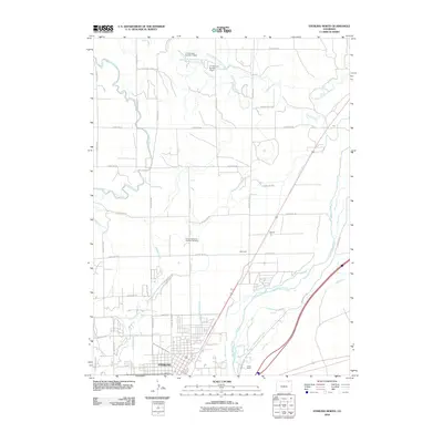
2010 Map of Sterling North
USGS Topo · Published 2010About this map
Sterling sits at the heart of an intricate hydraulic landscape in Logan County, where the South Platte River and its accompanying network of irrigation ditches define the local geography. This survey documents the sophisticated water management systems essential to the High Plains, including the North Sterling Canal, Lowline Ditch, and the Henderson Smith Ditch. These waterways run alongside smaller rural points such as Hayford and Ackerman, illustrating the long-standing relationship between the river corridor and regional agriculture.
Find a feature on this map
45 named features on this map. Tap any name to fly to it.
Don’t see what you’re looking for? This feature index may not catch every label — zoom into the map to look around manually.
Map Details
Editions of this 2010 Sterling North Map
This is the sole edition of this map. No revisions or reprints were ever made.
Other maps of this area

1951 · Reiradon Hill
USGS Topo · 1:24,000

1951 · Sterling South
USGS Topo · 1:24,000

1951 · Sterling North
USGS Topo · 1:24,000

1951 · Galien
USGS Topo · 1:24,000

1951 · Atwood NE
USGS Topo · 1:24,000

1951 · Iliff
USGS Topo · 1:24,000

1951 · Atwood
USGS Topo · 1:24,000

1952 · Padroni
USGS Topo · 1:24,000

1954 · Sterling
USGS Topo · 1:250,000

1958 · Sterling
USGS Topo · 1:250,000