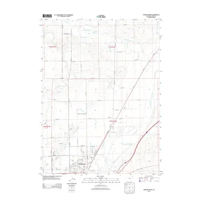
2013 Map of Sterling North
USGS Topo · Published 2013About this map
Sterling anchors the southern portion of this High Plains landscape, where the urban grid meets a complex network of agricultural irrigation. The S Platte River meanders through the eastern section, its flow managed by an intricate system of man-made waterways including the Pawnee Ditch, Lowline Ditch, and Sterling Lateral Number 1. This infrastructure, alongside features like the C.A. Sherwin Reservoir Number 1, highlights the region's reliance on water management for its survival and growth.
Find a feature on this map
71 named features on this map. Tap any name to fly to it.
Don’t see what you’re looking for? This feature index may not catch every label — zoom into the map to look around manually.
Map Details
Editions of this 2013 Sterling North Map
This is the sole edition of this map. No revisions or reprints were ever made.
Other maps of this area

1951 · Reiradon Hill
USGS Topo · 1:24,000

1951 · Sterling South
USGS Topo · 1:24,000

1951 · Sterling North
USGS Topo · 1:24,000

1951 · Galien
USGS Topo · 1:24,000

1951 · Atwood NE
USGS Topo · 1:24,000

1951 · Iliff
USGS Topo · 1:24,000

1951 · Atwood
USGS Topo · 1:24,000

1952 · Padroni
USGS Topo · 1:24,000

1954 · Sterling
USGS Topo · 1:250,000

1958 · Sterling
USGS Topo · 1:250,000