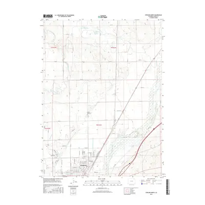
2016 Map of Sterling North
USGS Topo · Published 2016About this map
The South Platte River corridor dominates the landscape of Logan County, defining the agricultural and civic layout of Sterling during this 2016 survey. This map illustrates the intricate water management system essential to the region's productivity, featuring a network of irrigation works including the North Sterling Canal, Sterling Number 2 Ditch, and Bravo Ditch. These waterways carve through the terrain alongside natural features like Cedar Creek and its branches, supporting both the municipality and the outlying rural acreage.
Find a feature on this map
93 named features on this map. Tap any name to fly to it.
Don’t see what you’re looking for? This feature index may not catch every label — zoom into the map to look around manually.
Map Details
Editions of this 2016 Sterling North Map
This is the sole edition of this map. No revisions or reprints were ever made.
Other maps of this area

1951 · Reiradon Hill
USGS Topo · 1:24,000

1951 · Sterling South
USGS Topo · 1:24,000

1951 · Sterling North
USGS Topo · 1:24,000

1951 · Galien
USGS Topo · 1:24,000

1951 · Atwood NE
USGS Topo · 1:24,000

1951 · Iliff
USGS Topo · 1:24,000

1951 · Atwood
USGS Topo · 1:24,000

1952 · Padroni
USGS Topo · 1:24,000

1954 · Sterling
USGS Topo · 1:250,000

1958 · Sterling
USGS Topo · 1:250,000