
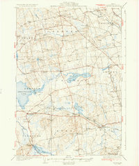
1935 Map of Stetson
USGS Topo · Published 1935About this map
The agricultural and milling heritage of central Penobscot County is clearly defined in this early 1930s landscape. Small rural crossroads and village centers like Stetson, Etna, and Plymouth serve as anchors for a network of local schools including Bonds Cor Sch and Longfellow Sch. The economy of the era is evidenced by water-powered sites such as French Mill and Spragues Mill, situated along the numerous brooks and streams that drain into Sebasticook Lake and Pleasant Lake.
Find a feature on this map
81 named features on this map. Tap any name to fly to it.
Don’t see what you’re looking for? This feature index may not catch every label — zoom into the map to look around manually.
Map Details
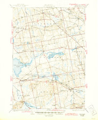
Editions of this 1935 Stetson Map
3 editions found
Other maps of this area

1900 · Bucksport
USGS Topo · 1:62,500

1902 · Bucksport
USGS Topo · 1:62,500

1902 · Bangor
USGS Topo · 1:62,500

1926 · Burnham
USGS Topo · 1:62,500

1930 · Pittsfield
USGS Topo · 1:48,000

1931 · Stetson
USGS Topo · 1:48,000

1932 · Brooks
USGS Topo · 1:62,500

1932 · Dover-Foxcroft
USGS Topo · 1:48,000

1932 · Pittsfield
USGS Topo · 1:62,500

1933 · Boyd Lake
USGS Topo · 1:62,500