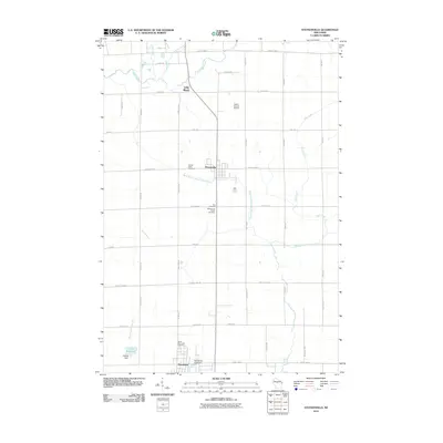
2010 Map of Stetsonville
USGS Topo · Published 2010About this map
Stetsonville and the surrounding Taylor County landscape are defined by a grid of rural routes and a network of waterways that support the region's agricultural character. This area, surveyed by the U.S. Geological Survey in 2010, shows a concentrated cluster of community landmarks, including Sacred Heart Cemetery, Zion Cemetery, and the Stetsonville Public Cemetery. To the north, the small settlement of Little Black sits near the headwaters of the Little Black River, while the Taylor County Airport serves the broader Medford vicinity. The hydrography of the quadrangle is notably diverse, with the Black River and the West Branch Big Eau Pleine River cutting through the farmland. Managed water features like the Kalepp Dam on the North Fork Popple River and the Dorchester G262 Dam illustrate the local infrastructure used to control the flow through this part of central Wisconsin.
Find a feature on this map
27 named features on this map. Tap any name to fly to it.
Don’t see what you’re looking for? This feature index may not catch every label — zoom into the map to look around manually.
Map Details
Editions of this 2010 Stetsonville Map
This is the sole edition of this map. No revisions or reprints were ever made.
Other maps of this area

1902 · Marathon
USGS Topo · 1:125,000

1951 · Athens
USGS Topo · 1:48,000

1951 · Medford
USGS Topo · 1:48,000

1953 · Abbotsford
USGS Topo · 1:48,000

1953 · Stratford
USGS Topo · 1:48,000

1953 · Eau Claire
USGS Topo · 1:250,000

1953 · Rice Lake
USGS Topo · 1:250,000

1958 · Eau Claire
USGS Topo · 1:250,000

1959 · Rice Lake
USGS Topo · 1:250,000

1963 · Stratford
USGS Topo · 1:62,500