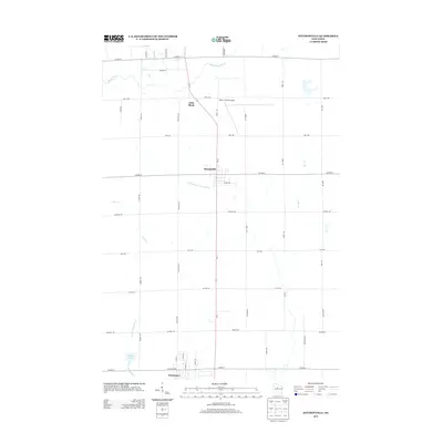
2013 Map of Stetsonville
USGS Topo · Published 2013About this map
Stetsonville and Little Black anchor this Taylor County landscape, reflecting the rural character of central Wisconsin during the early 21st century. The map depicts a structured grid of local roads and county highways, including Wi-13 and Co HWY-A, which facilitate movement between the small settlements and the larger agricultural plots. The Taylor County Airport stands as a notable modern landmark just north of the village center, while the northern edge of Dorchester appears at the southern map boundary along Co HWY-A.
Find a feature on this map
45 named features on this map. Tap any name to fly to it.
Don’t see what you’re looking for? This feature index may not catch every label — zoom into the map to look around manually.
Map Details
Editions of this 2013 Stetsonville Map
This is the sole edition of this map. No revisions or reprints were ever made.
Other maps of this area

1902 · Marathon
USGS Topo · 1:125,000

1951 · Athens
USGS Topo · 1:48,000

1951 · Medford
USGS Topo · 1:48,000

1953 · Abbotsford
USGS Topo · 1:48,000

1953 · Stratford
USGS Topo · 1:48,000

1953 · Eau Claire
USGS Topo · 1:250,000

1953 · Rice Lake
USGS Topo · 1:250,000

1958 · Eau Claire
USGS Topo · 1:250,000

1959 · Rice Lake
USGS Topo · 1:250,000

1963 · Stratford
USGS Topo · 1:62,500