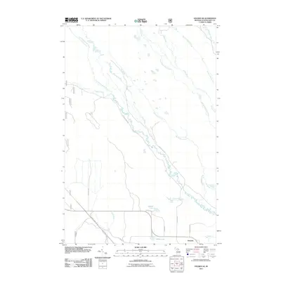
2011 Map of Steuben NE
USGS Topo · Published 2011About this map
Stutts Creek and its many tributaries, including North Branch Stutts Creek and Bear Slough, define the drainage patterns of this Schoolcraft County landscape. The area is characterized by a dense network of watercourses and seasonal wetlands, with Hay Meadow Creek and Hickey Creek cutting across the northern reaches. Near the southern edge, the settlement of Hiawatha sits at a junction of local roads, providing a focal point for the region's limited residential development.
Find a feature on this map
34 named features on this map. Tap any name to fly to it.
Don’t see what you’re looking for? This feature index may not catch every label — zoom into the map to look around manually.
Map Details
Editions of this 2011 Steuben NE Map
This is the sole edition of this map. No revisions or reprints were ever made.
Other maps of this area
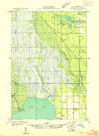
1931 · Steuben SE
USGS Topo · 1:31,680
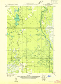
1931 · Steuben SW
USGS Topo · 1:31,680
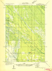
1931 · Steuben NE
USGS Topo · 1:31,680
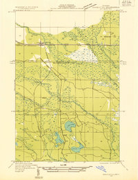
1931 · Shingleton SW
USGS Topo · 1:31,680
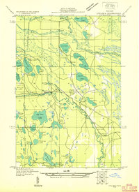
1931 · Steuben NW
USGS Topo · 1:31,680
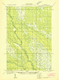
1931 · Manistique River NW
USGS Topo · 1:31,680
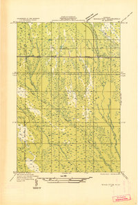
1931 · Shingleton SE
USGS Topo · 1:31,680
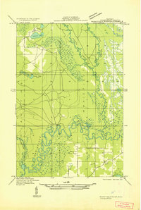
1931 · Manistique River SW
USGS Topo · 1:31,680
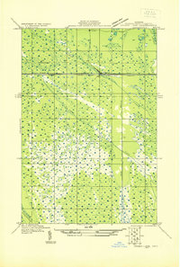
1931 · Driggs Lake SW
USGS Topo · 1:31,680
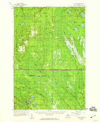
1958 · Shingleton
USGS Topo · 1:62,500