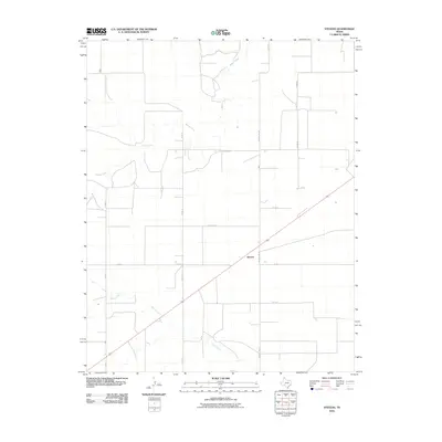
2010 Map of Stevens
USGS Topo · Published 2010About this map
Stevens occupies a central position within this Panhandle landscape, where the flat Texas plains are carved by the winding paths of Beaver River and Frisco Creek. In 2010, the area is defined by a rigid grid of rural infrastructure, with roads like Precint Line Rd and Duran Rd delineating the high plains. The drainage patterns of the Beaver River in the north and Frisco Creek in the south suggest the vital role of water in this semi-arid region, likely supporting cattle ranching or large-scale agriculture. This 2010 survey by the U.S. Geological Survey documents the intersection of modern transport and natural topography, specifically noting the path of Honey Hart Rd as it cuts across the section lines east of the settlement.
Find a feature on this map
12 named features on this map. Tap any name to fly to it.
Don’t see what you’re looking for? This feature index may not catch every label — zoom into the map to look around manually.
Map Details
Editions of this 2010 Stevens Map
This is the sole edition of this map. No revisions or reprints were ever made.
Other maps of this area

1954 · Perryton
USGS Topo · 1:250,000

1954 · Dalhart
USGS Topo · 1:250,000

1958 · Perryton
USGS Topo · 1:250,000

1958 · Dalhart
USGS Topo · 1:250,000

1962 · Dalhart
USGS Topo · 1:250,000

1964 · Stevens SW
USGS Topo · 1:24,000

1964 · Stratford
USGS Topo · 1:24,000

1964 · Stratford NE
USGS Topo · 1:24,000

1965 · Stevens
USGS Topo · 1:24,000

1971 · Griggs
USGS Topo · 1:24,000