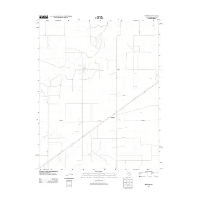
2012 Map of Stevens
USGS Topo · Published 2012About this map
The small settlement of Stevens sits along a diagonal transportation corridor in Sherman County, marking a localized pocket of development within the high plains of the Texas Panhandle. This landscape is defined by the ephemeral path of the Beaver River, which wanders through the northern portion of the quadrangle, and Frisco Cr in the south. The human footprint here is primarily structured by a rigid grid of rural routes, including Co Road G, Co Road H, and Co Road E. These roads suggest a landscape dedicated to large-scale ranching or agriculture, where travel is dictated by long, straight sections of gravel or pavement. The relationship between the meandering natural drainage of the Beaver River and the geometric precision of the county road system illustrates the late-twentieth-century management of this semi-arid environment.
Find a feature on this map
11 named features on this map. Tap any name to fly to it.
Don’t see what you’re looking for? This feature index may not catch every label — zoom into the map to look around manually.
Map Details
Editions of this 2012 Stevens Map
This is the sole edition of this map. No revisions or reprints were ever made.
Other maps of this area

1954 · Perryton
USGS Topo · 1:250,000

1954 · Dalhart
USGS Topo · 1:250,000

1958 · Perryton
USGS Topo · 1:250,000

1958 · Dalhart
USGS Topo · 1:250,000

1962 · Dalhart
USGS Topo · 1:250,000

1964 · Stevens SW
USGS Topo · 1:24,000

1964 · Stratford
USGS Topo · 1:24,000

1964 · Stratford NE
USGS Topo · 1:24,000

1965 · Stevens
USGS Topo · 1:24,000

1971 · Griggs
USGS Topo · 1:24,000