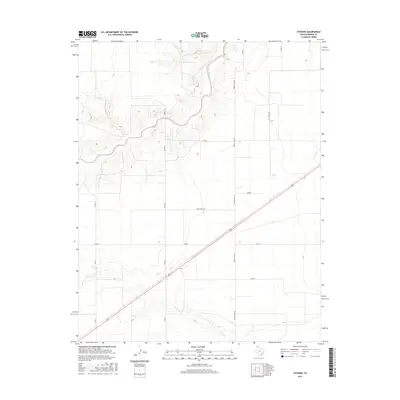
2016 Map of Stevens
USGS Topo · Published 2016About this map
The Beaver River and its tributary Frisco Cr carve distinct drainage patterns across this section of the Texas Panhandle, providing a sharp contrast to the surrounding plateau. This landscape in the northern reaches of Sherman County reflects a highly organized rural grid, defined by extensive county roads and the long diagonal transect of a major highway. The intersection of local routes like Honey Hart Rd and Precint Line Rd reveals the persistent structure of ranching and agricultural life in the 21st century.
Find a feature on this map
13 named features on this map. Tap any name to fly to it.
Don’t see what you’re looking for? This feature index may not catch every label — zoom into the map to look around manually.
Map Details
Editions of this 2016 Stevens Map
This is the sole edition of this map. No revisions or reprints were ever made.
Other maps of this area

1954 · Perryton
USGS Topo · 1:250,000

1954 · Dalhart
USGS Topo · 1:250,000

1958 · Perryton
USGS Topo · 1:250,000

1958 · Dalhart
USGS Topo · 1:250,000

1962 · Dalhart
USGS Topo · 1:250,000

1964 · Stevens SW
USGS Topo · 1:24,000

1964 · Stratford
USGS Topo · 1:24,000

1964 · Stratford NE
USGS Topo · 1:24,000

1965 · Stevens
USGS Topo · 1:24,000

1971 · Griggs
USGS Topo · 1:24,000