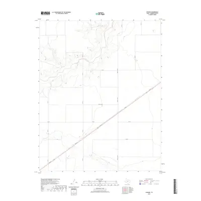
2019 Map of Stevens
USGS Topo · Published 2019About this map
The Beaver River and its accompanying canyon walls dominate the northern landscape of this Sherman County quadrangle, where the river's winding course creates a stark contrast against the surrounding high plains. In the southern portion of the map, Frisco Cr cuts through the terrain, further defining the local drainage patterns. The area is characterized by a precise grid of rural thoroughfares, including Duran Rd, Precint Line Rd, and the uniquely named Honey Hart Rd. Traversing the landscape diagonally from southwest to northeast is Texas St, which provides the primary transit artery across these open agricultural lands. This survey reflects the enduring spatial organization of the Texas Panhandle, where large-scale land management is dictated by water access and an expansive network of county roads.
Find a feature on this map
13 named features on this map. Tap any name to fly to it.
Don’t see what you’re looking for? This feature index may not catch every label — zoom into the map to look around manually.
Map Details
Editions of this 2019 Stevens Map
This is the sole edition of this map. No revisions or reprints were ever made.
Other maps of this area

1954 · Perryton
USGS Topo · 1:250,000

1954 · Dalhart
USGS Topo · 1:250,000

1958 · Perryton
USGS Topo · 1:250,000

1958 · Dalhart
USGS Topo · 1:250,000

1962 · Dalhart
USGS Topo · 1:250,000

1964 · Stevens SW
USGS Topo · 1:24,000

1964 · Stratford
USGS Topo · 1:24,000

1964 · Stratford NE
USGS Topo · 1:24,000

1965 · Stevens
USGS Topo · 1:24,000

1971 · Griggs
USGS Topo · 1:24,000