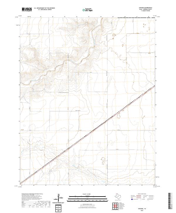
2022 Map of Stevens
USGS Topo · Published 2022About this map
Beaver River and its accompanying drainage systems define this landscape in the northern Texas Panhandle. This survey illustrates the rural expanse of Sherman County, where the topography is shaped by the winding course of the river and the smaller tributaries of Frisco Cr. The map reveals a highly structured grid of section lines and transport routes that organize the agricultural and ranching terrain, including Precint Line Rd and Duran Rd. A diagonal corridor created by Texas St cuts through the southern half of the quadrangle, providing a primary link between local homesteads. While the area is sparse in dense settlements, the placement of names like Honey Hart Rd and various county roads indicates the persistent framework of land division and local movement in this high plains environment.
Find a feature on this map
13 named features on this map. Tap any name to fly to it.
Don’t see what you’re looking for? This feature index may not catch every label — zoom into the map to look around manually.
Map Details
Editions of this 2022 Stevens Map
This is the sole edition of this map. No revisions or reprints were ever made.
Other maps of this area

1954 · Perryton
USGS Topo · 1:250,000

1954 · Dalhart
USGS Topo · 1:250,000

1958 · Perryton
USGS Topo · 1:250,000

1958 · Dalhart
USGS Topo · 1:250,000

1962 · Dalhart
USGS Topo · 1:250,000

1964 · Stevens SW
USGS Topo · 1:24,000

1964 · Stratford
USGS Topo · 1:24,000

1964 · Stratford NE
USGS Topo · 1:24,000

1965 · Stevens
USGS Topo · 1:24,000

1971 · Griggs
USGS Topo · 1:24,000