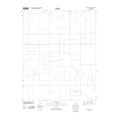
2010 Map of Stevens SW
USGS Topo · Published 2010About this map
Coldwater Creek and Frisco Creek carve their paths through this stretch of the Texas Panhandle, defining the drainage patterns of an otherwise linear landscape. The area is marked by a rigid grid of rural infrastructure, where routes like Precint Line Rd, Scharch Rd, and Lone Rd facilitate movement across the agricultural terrain. A single named landmark, the Frank Brannan Lake Dam, suggests local efforts to manage water resources in this arid environment. The map captures the specialized road network used for regional transport, including specialized paths like Creek 13, which follow the natural contours of the land against the dominant section-line survey pattern.
Find a feature on this map
16 named features on this map. Tap any name to fly to it.
Don’t see what you’re looking for? This feature index may not catch every label — zoom into the map to look around manually.
Map Details
Editions of this 2010 Stevens SW Map
This is the sole edition of this map. No revisions or reprints were ever made.
Other maps of this area

1954 · Perryton
USGS Topo · 1:250,000

1954 · Dalhart
USGS Topo · 1:250,000

1958 · Perryton
USGS Topo · 1:250,000

1958 · Dalhart
USGS Topo · 1:250,000

1962 · Dalhart
USGS Topo · 1:250,000

1964 · Stevens SW
USGS Topo · 1:24,000

1964 · Stratford
USGS Topo · 1:24,000

1964 · Stratford NE
USGS Topo · 1:24,000

1965 · Lautz
USGS Topo · 1:24,000

1965 · Spurlock Chapel
USGS Topo · 1:24,000