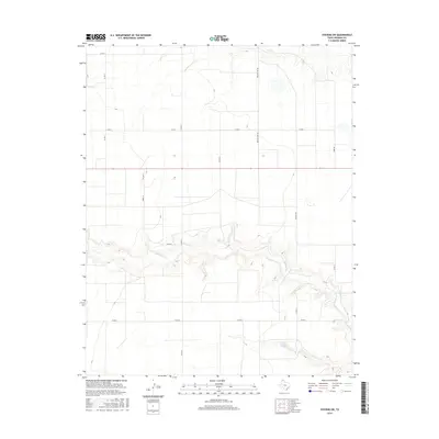
2016 Map of Stevens SW
USGS Topo · Published 2016About this map
Coldwater Creek carves a winding path across this portion of the Texas Panhandle, creating a distinct topographical break in the otherwise level plains of Sherman County. The drainage network is further defined by Frisco Creek in the northern section and Creek 12 to the west, illustrating the vital water resources that have historically dictated land use in this semi-arid region. In the southeast, Frank Brannan Lake serves as a localized landmark among the section lines and rural thoroughfares.
Find a feature on this map
17 named features on this map. Tap any name to fly to it.
Don’t see what you’re looking for? This feature index may not catch every label — zoom into the map to look around manually.
Map Details
Editions of this 2016 Stevens SW Map
This is the sole edition of this map. No revisions or reprints were ever made.
Other maps of this area

1954 · Perryton
USGS Topo · 1:250,000

1954 · Dalhart
USGS Topo · 1:250,000

1958 · Perryton
USGS Topo · 1:250,000

1958 · Dalhart
USGS Topo · 1:250,000

1962 · Dalhart
USGS Topo · 1:250,000

1964 · Stevens SW
USGS Topo · 1:24,000

1964 · Stratford
USGS Topo · 1:24,000

1964 · Stratford NE
USGS Topo · 1:24,000

1965 · Lautz
USGS Topo · 1:24,000

1965 · Spurlock Chapel
USGS Topo · 1:24,000