Loading...
Loading map...2022 Map of Stevenstown
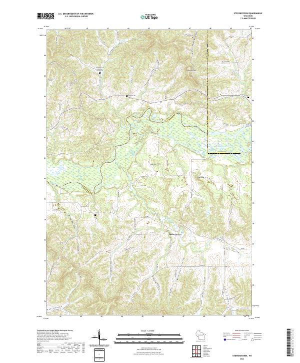
USGS Topo · Published 2022About this map
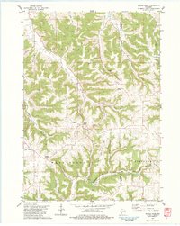
The Black River winds through the heart of this landscape at the intersection of La Crosse, Jackson, and Trempealeau Counties. The terrain is defined by its deep coulees, including Gavin Coulee, Roberts Coulee, and Moe Coulee, which channel smaller tributaries like Fleming Creek and Sour Cr toward the river valley. The small settlement of Stevenstown serves as a local crossroads within this network of ridges and narrow valleys.
Find a feature on this map
82 named features on this map. Tap any name to fly to it.
Don’t see what you’re looking for? This feature index may not catch every label — zoom into the map to look around manually.
Map Details
Date Portrayed2022
Date Published2022
PublisherU.S. Geological Survey
Map TypeTopographic
Scale1:24000
Physical Dimensions24 x 29 inches
Editions of this 2022 Stevenstown Map
This is the sole edition of this map. No revisions or reprints were ever made.
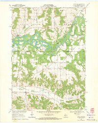
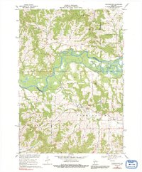
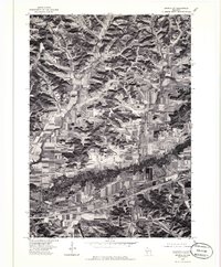
Historical Maps of Jackson County Through Time
8 maps found
Featured Locations
Source Details
SourceU.S. Geological Survey
CopyrightPublic Domain