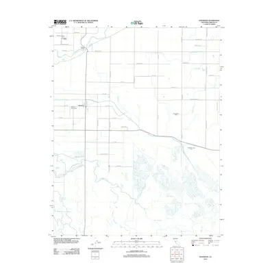
2012 Map of Stevinson
USGS Topo · Published 2012About this map
The confluence of the Merced River and the San Joaquin River dominates this portion of the Central Valley, where a complex network of man-made irrigation channels meets natural wetlands. The unincorporated community of Stevinson serves as a local hub, flanked by industrial agricultural operations such as the Gallo Bamboo Dairy and Wickstrom Jersey Farms. This landscape is defined by the managed movement of water, evidenced by the Riverside Ditch and several laterals that sustain the region's dairy and farming economy.
Find a feature on this map
50 named features on this map. Tap any name to fly to it.
Don’t see what you’re looking for? This feature index may not catch every label — zoom into the map to look around manually.
Map Details
Editions of this 2012 Stevinson Map
This is the sole edition of this map. No revisions or reprints were ever made.
Other maps of this area
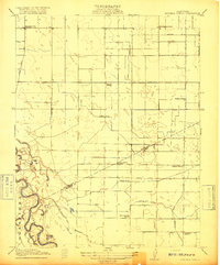
1916 · Mitchell School
USGS Topo · 1:31,680
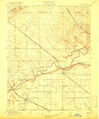
1916 · Cressey
USGS Topo · 1:31,680
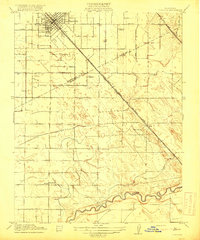
1917 · Turlock
USGS Topo · 1:31,680
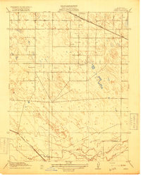
1918 · Arena
USGS Topo · 1:31,680
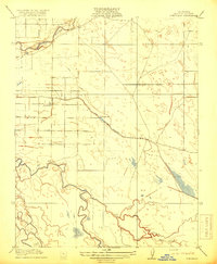
1918 · Stevinson
USGS Topo · 1:31,680
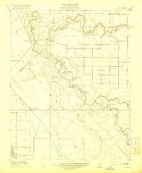
1918 · Gustine
USGS Topo · 1:31,680
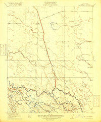
1918 · Turner Ranch
USGS Topo · 1:31,680
1919 · San Luis Ranch
USGS Topo · 1:31,680
1919 · Ingomar
USGS Topo · 1:31,680
1942 · Irwin
USGS Topo · 1:62,500