
1918 Map of Stevinson
USGS Topo · Published 1918About this map
The confluence of California’s Central Valley waterways takes center stage in this 1915 survey. The San Joaquin River and Merced River dominate the landscape, their winding courses defining the local topography before modern large-scale channelization. The settlement of Stevinson appears as a small but established hub, surrounded by an emerging network of water management features designed for agriculture.
Find a feature on this map
12 named features on this map. Tap any name to fly to it.
Don’t see what you’re looking for? This feature index may not catch every label — zoom into the map to look around manually.
Map Details
Editions of this 1918 Stevinson Map
2 editions found
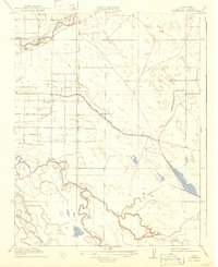
Other maps of this area

1916 · Mitchell School
USGS Topo · 1:31,680

1916 · Cressey
USGS Topo · 1:31,680

1917 · Turlock
USGS Topo · 1:31,680

1918 · Arena
USGS Topo · 1:31,680

1918 · Gustine
USGS Topo · 1:31,680

1918 · Turner Ranch
USGS Topo · 1:31,680

1919 · San Luis Ranch
USGS Topo · 1:31,680

1919 · Ingomar
USGS Topo · 1:31,680
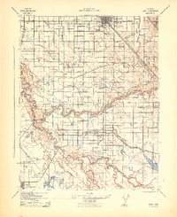
1942 · Irwin
USGS Topo · 1:62,500
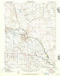
1946 · Santa Rita Park
USGS Topo · 1:62,500