
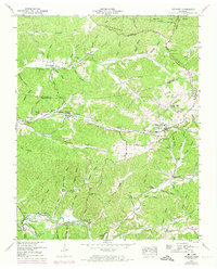
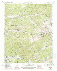
1950 Map of Stewart
USGS Topo · Published 1953About this map
Stewart State Forest and the rugged divide of Tennessee Ridge dominate this mid-century survey of the Houston and Stewart County line. The Louisville and Nashville railroad serves as the primary corridor for human activity, connecting the village of Stewart to Tennessee Ridge and Grays Crossing. The landscape is a network of ridges and deep hollows, such as Louis Hollow and Burcham Hollow, where numerous family cemeteries like Collier Cem and Hansel Cem are tucked away near the headwaters of Cane Creek.
Find a feature on this map
96 named features on this map. Tap any name to fly to it.
Don’t see what you’re looking for? This feature index may not catch every label — zoom into the map to look around manually.
Map Details
Editions of this 1950 Stewart Map
3 editions found
Other maps of this area

1931 · Erin
USGS Topo · 1:62,500

1936 · Tantrough Hollow
USGS Topo · 1:24,000

1936 · McKinnon
USGS Topo · 1:24,000

1936 · Woolworth
USGS Topo · 1:24,000

1936 · Stewart
USGS Topo · 1:24,000

1936 · Halls Creek
USGS Topo · 1:24,000

1936 · Harmon Creek
USGS Topo · 1:24,000

1936 · Standing Rock
USGS Topo · 1:24,000

1936 · Dover
USGS Topo · 1:24,000

1949 · Harmon Creek
USGS Topo · 1:24,000