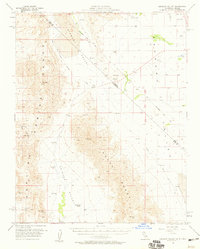
1958 Map of Stewart Valley
USGS Topo · Published 1959About this map
Stewart Valley and the Pahrump Valley meet at the California-Nevada state line, a landscape defined by the convergence of high desert ranges and historical survey boundaries. The Von Schmidt Line cuts diagonally across the northern terrain, marking an early attempt to define the border between the two states. Mining activity is prominent throughout the Nopah Range and Resting Spring Range, with sites such as the Baxter Mine, Gerstley Mine, and Red Wing Mine indicating a mid-century period of mineral extraction.
Find a feature on this map
27 named features on this map. Tap any name to fly to it.
Don’t see what you’re looking for? This feature index may not catch every label — zoom into the map to look around manually.
Map Details
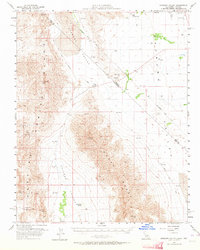
Editions of this 1958 Stewart Valley Map
2 editions found
Other maps of this area

1907 · Las Vegas
USGS Topo · 1:250,000

1908 · Furnace Creek
USGS Topo · 1:250,000

1908 · Las Vegas
USGS Topo · 1:250,000

1910 · Furnace Creek
USGS Topo · 1:250,000

1910 · Ivanpah
USGS Topo · 1:250,000

1912 · Ivanpah
USGS Topo · 1:250,000

1933 · Avawatz Mountains
USGS Topo · 1:250,000

1940 · Eagle Tank
USGS Topo · 1:62,500

1942 · Ivanpah
USGS Topo · 1:250,000

1947 · Trona
USGS Topo · 1:250,000