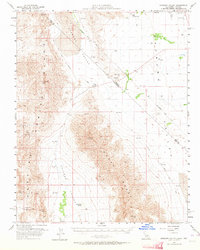
1958 Map of Stewart Valley
USGS Topo · Published 1964About this map
Stewart Valley and Chicago Valley dominate this mid-century desert survey, revealing a landscape defined by historic transport routes and mining operations. The map traces the path of the Old Trail alongside the Traction Road and its predecessor, the Old Traction Road, marking the evolution of transit across the California-Nevada border. Mining activity is concentrated in the southern reaches, with the Baster Mine, Red Wing Mine, and Gerstley Mine situated near the Resting Springs Range. Water sources, critical for survival in this arid environment, are specifically identified at Sixmile Spr, Twelvemile Spring, and several Artesian Wells. The intersection of the Nye Co Inyo Co line with the state border provides a precise reference for those researching regional administrative boundaries and historical land use during this era of post-war exploration.
Find a feature on this map
16 named features on this map. Tap any name to fly to it.
Don’t see what you’re looking for? This feature index may not catch every label — zoom into the map to look around manually.
Map Details
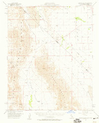
Editions of this 1958 Stewart Valley Map
2 editions found
Other maps of this area

1907 · Las Vegas
USGS Topo · 1:250,000

1908 · Furnace Creek
USGS Topo · 1:250,000

1908 · Las Vegas
USGS Topo · 1:250,000

1910 · Furnace Creek
USGS Topo · 1:250,000

1910 · Ivanpah
USGS Topo · 1:250,000

1912 · Ivanpah
USGS Topo · 1:250,000

1933 · Avawatz Mountains
USGS Topo · 1:250,000

1940 · Eagle Tank
USGS Topo · 1:62,500

1942 · Ivanpah
USGS Topo · 1:250,000

1947 · Trona
USGS Topo · 1:250,000