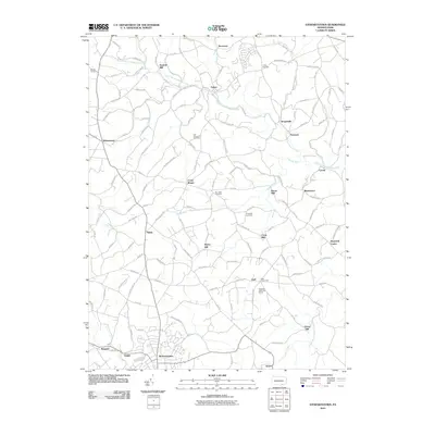
2010 Map of Stewartstown
USGS Topo · Published 2010About this map
Sechrist Mill and Bacon Mill highlight a landscape deeply rooted in the agricultural and water-powered industries of York County. The northern reaches of the quadrangle follow the winding course of the North Branch Muddy Creek, which historically supported numerous milling operations such as Cross Mill and Grove Mill. The settlement pattern reflects a dense network of small villages and crossroads, including Stewartstown, Winterstown, and Felton, connected by historic paths like Plank Rd and Rinely Rd.
Find a feature on this map
131 named features on this map. Tap any name to fly to it.
Don’t see what you’re looking for? This feature index may not catch every label — zoom into the map to look around manually.
Map Details
Editions of this 2010 Stewartstown Map
This is the sole edition of this map. No revisions or reprints were ever made.
Other maps of this area

1900 · Parkton
USGS Topo · 1:62,500

1901 · Belair
USGS Topo · 1:62,500

1902 · Parkton
USGS Topo · 1:62,500

1908 · York
USGS Topo · 1:62,500

1910 · York
USGS Topo · 1:62,500

1912 · Mc Calls Ferry
USGS Topo · 1:62,500

1942 · Bel Air
USGS Topo · 1:62,500

1943 · Mc Calls Ferry
USGS Topo · 1:62,500

1944 · New Freedom
USGS Topo · 1:31,680

1944 · Norrisville
USGS Topo · 1:31,680