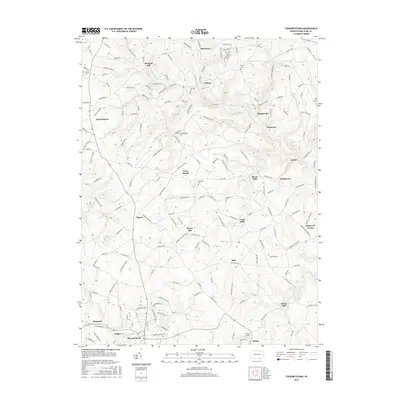
2016 Map of Stewartstown
USGS Topo · Published 2016About this map
The rolling hills of York County are defined by the winding waters of N Br Muddy Cr and S Br Muddy Cr, where early local industry grew around the power of these streams. The landscape is dotted with several historic mill sites, including Sechrist Mill, Bacon Mill, Cross Mill, and Grove Mill, reflecting a legacy of agricultural processing that once supported small communities like Brogueville and Felton. Small crossroads settlements such as Rinely, Draco, and Winterstown are connected by a network of rural roads that frequently bear the names of early resident families, such as Hyson Hill. Genealogical interest is found in the scattered country burial grounds, such as Shaffer Cem and Roundhill Cem, while local institutions like the Lebanon Church and several community school sites, including Millers School and Glessick School, anchor the rural neighborhoods around Stewartstown.
Find a feature on this map
192 named features on this map. Tap any name to fly to it.
Don’t see what you’re looking for? This feature index may not catch every label — zoom into the map to look around manually.
Map Details
Editions of this 2016 Stewartstown Map
This is the sole edition of this map. No revisions or reprints were ever made.
Other maps of this area

1900 · Parkton
USGS Topo · 1:62,500

1901 · Belair
USGS Topo · 1:62,500

1902 · Parkton
USGS Topo · 1:62,500

1908 · York
USGS Topo · 1:62,500

1910 · York
USGS Topo · 1:62,500

1912 · Mc Calls Ferry
USGS Topo · 1:62,500

1942 · Bel Air
USGS Topo · 1:62,500

1943 · Mc Calls Ferry
USGS Topo · 1:62,500

1944 · New Freedom
USGS Topo · 1:31,680

1944 · Norrisville
USGS Topo · 1:31,680