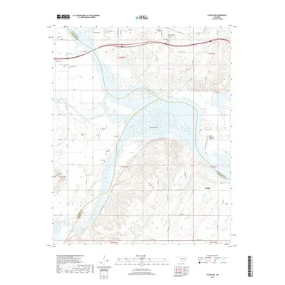
2018 Map of Stigler NE
USGS Topo · Published 2018About this map
The Canadian River and Arkansas River converge in this riverine landscape, where the borders of Sequoyah, Muskogee, and Haskell counties meet. The settlement of Tamaha serves as a primary reference point in a region dominated by the sprawling waters of the Robert S Kerr Reservoir and its associated bottomlands, including Hisaw Bottom and Upper Sandtown Bottom. This 2018 survey reveals a territory with deep genealogical roots, marked by over a dozen named burial sites such as Starr Cem, Foreman Cem, and Jones Cem.
Find a feature on this map
62 named features on this map. Tap any name to fly to it.
Don’t see what you’re looking for? This feature index may not catch every label — zoom into the map to look around manually.
Map Details
Editions of this 2018 Stigler NE Map
This is the sole edition of this map. No revisions or reprints were ever made.
Other maps of this area

1898 · Tahlequah
USGS Topo · 1:125,000

1900 · Sansbois
USGS Topo · 1:125,000

1900 · Sallisaw
USGS Topo · 1:125,000

1901 · Muscogee
USGS Topo · 1:125,000

1901 · Tahlequah
USGS Topo · 1:125,000

1905 · Muscogee
USGS Topo · 1:125,000

1905 · Tahlequah
USGS Topo · 1:125,000

1909 · Sans Bois
USGS Topo · 1:125,000

1911 · Sallisaw
USGS Topo · 1:125,000

1911 · Sansbois
USGS Topo · 1:125,000