
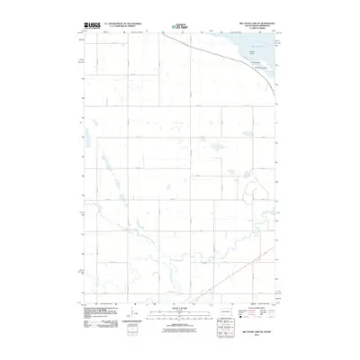
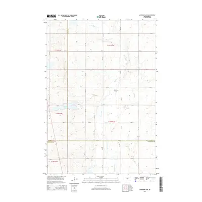
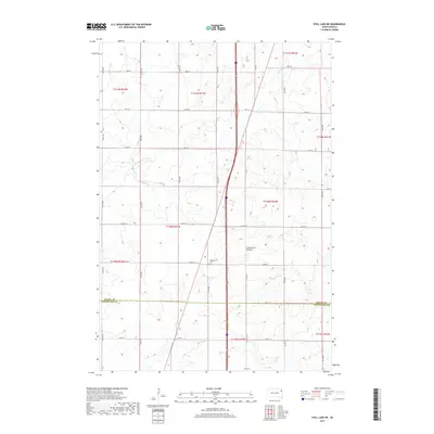
2021 Map of Still Lake NE
USGS Topo · Published 2021About this map
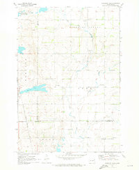
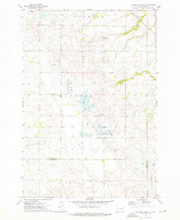
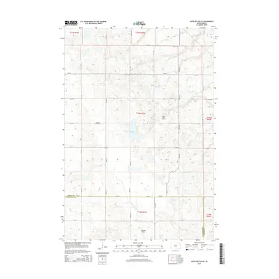
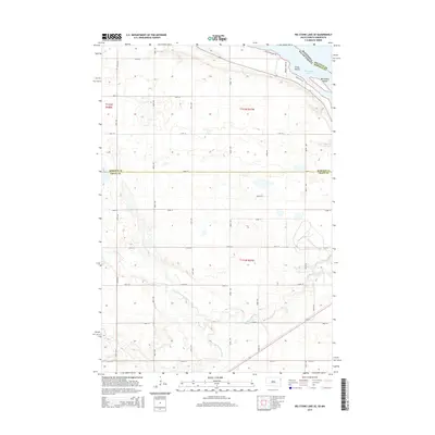
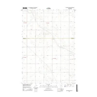
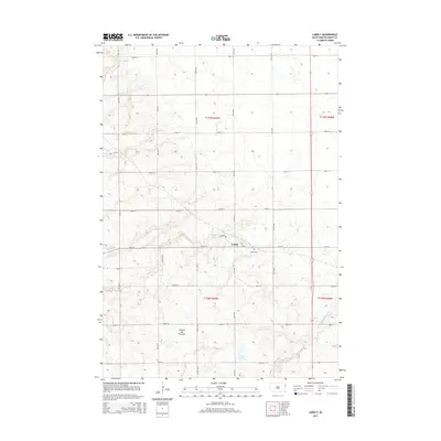
The Coteau des Prairies, a vast plateau rising above the surrounding plains, dominates the landscape of this region along the border of Grant and Codington counties. This survey reflects the agricultural character of the high prairie, where a grid of rural roads like 150th St and 153rd St connects isolated homesteads and farmland. Water features are sparse but significant to the local geography, including the Indian River flowing through the northern sections and Soo Cr winding through the south. For those researching local history, the map identifies specific landmarks such as Mazeppa Cem and Klix Cem, which serve as physical anchors for the area's genealogical record. Modern infrastructure is represented by the north-south corridor of the highway system, intersecting with established local routes like Co Hwy 14.
Find a feature on this map
21 named features on this map. Tap any name to fly to it.
Don’t see what you’re looking for? This feature index may not catch every label — zoom into the map to look around manually.
Map Details
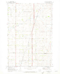
Editions of this 2021 Still Lake NE Map
This is the sole edition of this map. No revisions or reprints were ever made.
Historical Maps of Sunrise Hutterite Colony Through Time
41 maps found
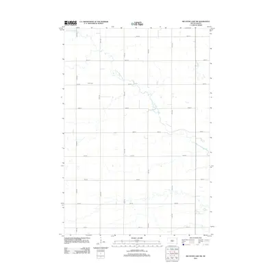
1970 Lonesome Lake
Grant County, SD
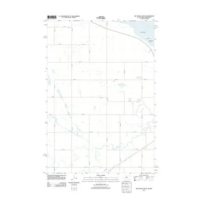
1970 Still Lake NE
Grant County, SD
1971 Big Stone Lake SE
Grant County, SD
1971 Big Stone Lake SW
Grant County, SD
1973 Antelope Valley
Grant County, SD
1973 LaBolt
Grant County, SD
1973 Milbank East
Grant County, SD
1973 Milbank West
Grant County, SD
2010 Big Stone Lake SE
Grant County, SD
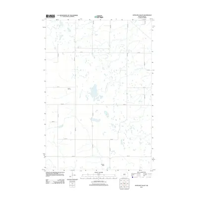
2012 Antelope Valley
Grant County, SD
2012 Big Stone Lake SE
Grant County, SD
2012 Big Stone Lake SW
Grant County, SD
2012 LaBolt
Grant County, SD
2012 Lonesome Lake
Grant County, SD
2012 Milbank East
Grant County, SD
2012 Milbank West
Grant County, SD

2012 Still Lake NE
Grant County, SD
2015 Antelope Valley
Grant County, SD
2015 Big Stone Lake SE
Grant County, SD
2015 Big Stone Lake SW
Grant County, SD
2015 LaBolt
Grant County, SD
2015 Lonesome Lake
Grant County, SD
2015 Milbank East
Grant County, SD
2015 Milbank West
Grant County, SD
2015 Still Lake NE
Grant County, SD
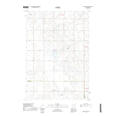
2017 Antelope Valley
Grant County, SD
2017 Big Stone Lake SE
Grant County, SD
2017 Big Stone Lake SW
Grant County, SD
2017 LaBolt
Grant County, SD
2017 Lonesome Lake
Grant County, SD
2017 Milbank East
Grant County, SD
2017 Milbank West
Grant County, SD
2017 Still Lake NE
Grant County, SD
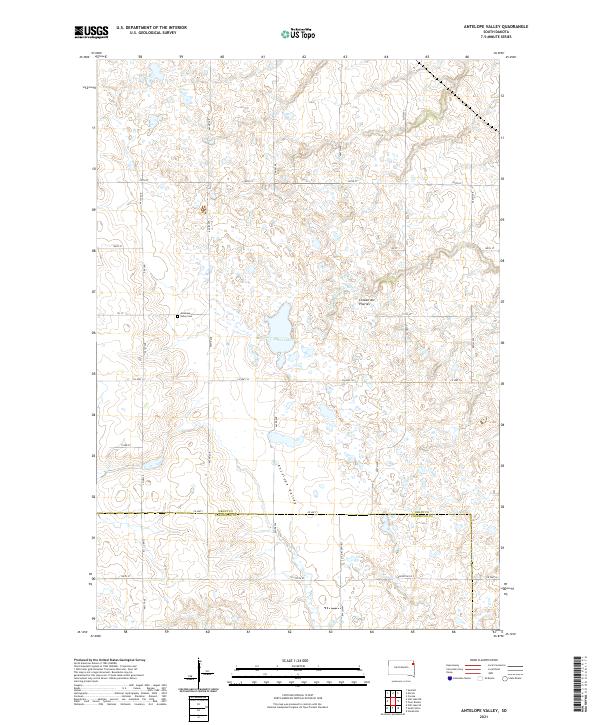
2021 Antelope Valley
Grant County, SD
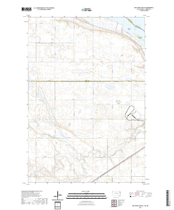
2021 Big Stone Lake SE
Grant County, SD
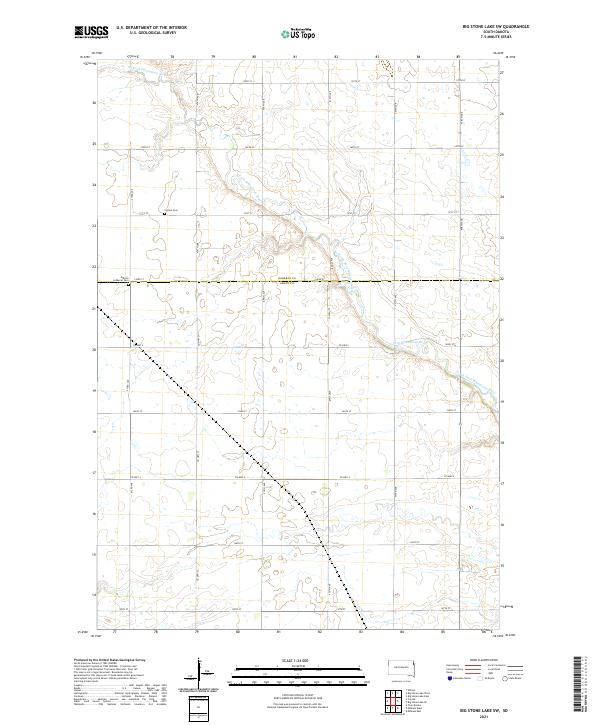
2021 Big Stone Lake SW
Grant County, SD
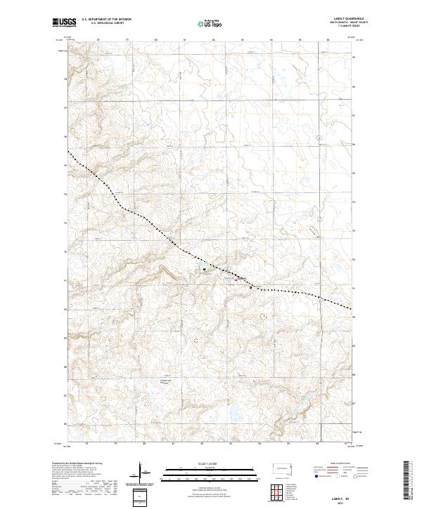
2021 LaBolt
Grant County, SD
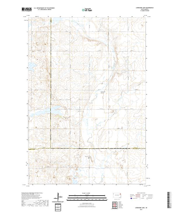
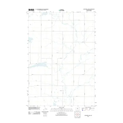
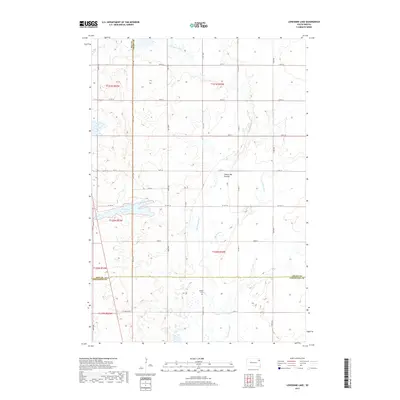
2021 Lonesome Lake
Grant County, SD
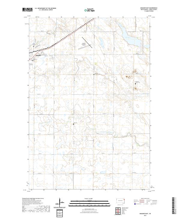
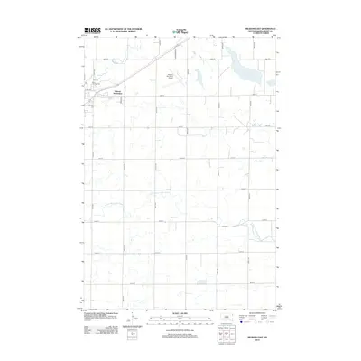
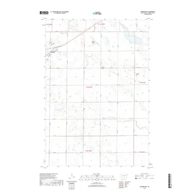
2021 Milbank East
Grant County, SD
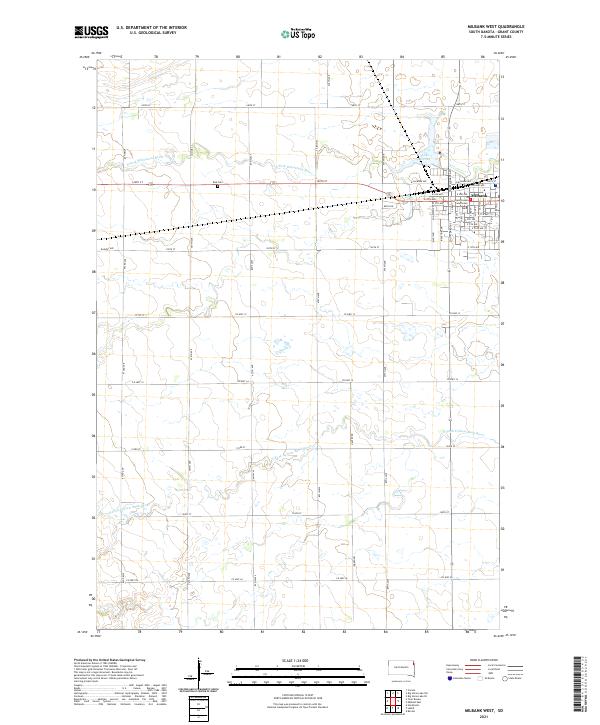
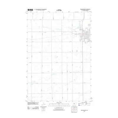
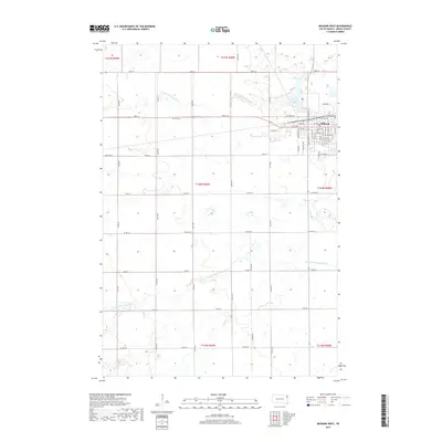
2021 Milbank West
Grant County, SD
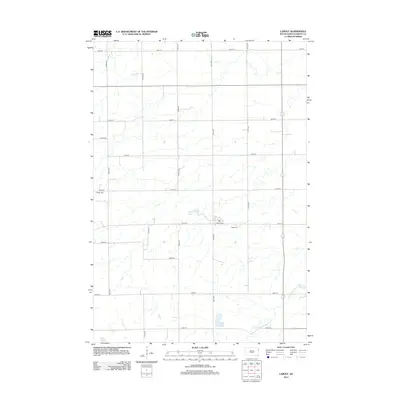
2021 Still Lake NE
Grant County, SD
Featured Locations
- Enemy Swim District, SD
- Big Course District, SD
- Sunrise Hutterite Colony, Enemy Swim District
- Leola Township, SD
- Germantown Township, SD