
1970 Map of Still Lake NE
USGS Topo · Published 1973About this map
Sisseton Indian Reservation Boundary bisects this agricultural landscape, marking a historical division across the townships of Farmington, Lura, and Germantown. This 1970 survey captures the rural character of the region where Blooming Valley meets the drainage of the Indian River and Soo Creek. Local community life is anchored by a Townhall in the south and the St Johns Ch and accompanying Cem further north. The map also delineates the transition across the Grant Co Codington Co line, illustrating the network of section-line roads and field boundaries that define the eastern South Dakota plains during the early 1970s. Industrial activity is limited but present, noted by a localized Gravel Pit near the southern townships.
Find a feature on this map
14 named features on this map. Tap any name to fly to it.
Don’t see what you’re looking for? This feature index may not catch every label — zoom into the map to look around manually.
Map Details
Editions of this 1970 Still Lake NE Map
This is the sole edition of this map. No revisions or reprints were ever made.
Other maps of this area

1953 · Milbank
USGS Topo · 1:250,000

1958 · Milbank
USGS Topo · 1:250,000

1970 · Summit
USGS Topo · 1:24,000

1970 · Lonesome Lake
USGS Topo · 1:24,000

1970 · Still Lake SE
USGS Topo · 1:24,000

1970 · Marvin
USGS Topo · 1:24,000

1970 · Ortley
USGS Topo · 1:24,000

1970 · Still Lake
USGS Topo · 1:24,000
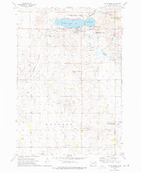
1973 · South Shore
USGS Topo · 1:24,000
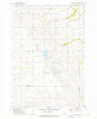
1973 · Antelope Valley
USGS Topo · 1:24,000
Featured Places
- Enemy Swim District, SD
- Germantown Township, SD
- Big Course District, SD
- Leola Township, SD
- Sunrise Hutterite Colony, Enemy Swim District