
1892 Map of Stillwater
USGS Topo · Published 1892About this map
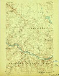
The Stillwater River and Yellowstone River converge in this 1889 survey, marking a significant transition point for frontier travel and early industrial infrastructure. The Northern Pacific Railroad tracks follow the northern bank of the Yellowstone, passing through small riverfront settlements like Stillwater and Bensons Bluff. Just south of the river, the vast Crow Indian Reservation boundary is established, defining the southern half of the landscape. Early irrigation and navigation efforts are evident through the presence of the Billings Ditch and a recorded Ferry and Ford near Youngs Point. The northern portion of the map is dominated by the Lake Basin, a high plateau area punctuated by numerous drainages such as White Beaver Creek and Keyser Creek that feed into the river valley below.
Find a feature on this map
29 named features on this map. Tap any name to fly to it.
Don’t see what you’re looking for? This feature index may not catch every label — zoom into the map to look around manually.
Map Details
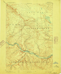
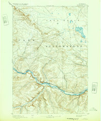
Editions of this 1892 Stillwater Map
4 editions found
Other maps of this area

1889 · Big Snowy Mountain
USGS Topo · 1:250,000

1891 · Big Timber
USGS Topo · 1:125,000

1893 · Big Snowy Mountain
USGS Topo · 1:250,000

1893 · Big Timber
USGS Topo · 1:125,000

1898 · Granite Mountain District
USGS Topo · 1:125,000

1932 · Red Lodge No 2
USGS Topo · 1:48,000

1932 · Red Lodge No 1
USGS Topo · 1:48,000

1932 · Nye No 1
USGS Topo · 1:48,000

1954 · Billings
USGS Topo · 1:250,000

1954 · Roundup
USGS Topo · 1:250,000