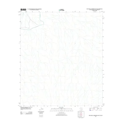
2013 Map of Stillwell Crossing OE S
USGS Topo · Published 2013About this map
The Rio Grande serves as the dominant geographical feature and international boundary in this 2013 survey of the Texas-Mexico borderlands. This sparsely developed region is defined by a dense network of intermittent drainage channels that feed into the river valley, illustrating the complex arid hydrology of the area. One of the few named tributaries, Heath Cr, enters the map from the northwest, carving through the terrain before reaching the river's edge. Because the map was produced with coordination between agencies like the Ibwc and Ibc, it provides a precise modern record of the international boundary and topography along this remote stretch of the river, where few human-made landmarks or roads appear.
Find a feature on this map
2 named features on this map. Tap any name to fly to it.
Don’t see what you’re looking for? This feature index may not catch every label — zoom into the map to look around manually.
Map Details
Editions of this 2013 Stillwell Crossing OE S Map
This is the sole edition of this map. No revisions or reprints were ever made.
Other maps of this area

1930 · Stillwell Creek
USGS Topo · 1:62,500

1959 · Emory Peak
USGS Topo · 1:250,000

1965 · Emory Peak
USGS Topo · 1:250,000
1971 · Ernst Valley
USGS Topo · 1:24,000
1971 · Boquillas
USGS Topo · 1:24,000
1971 · Sue Peaks
USGS Topo · 1:24,000
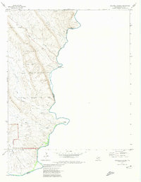
1971 · Stillwell Crossing
USGS Topo · 1:24,000
1984 · Boquillas
USGS Topo · 1:100,000
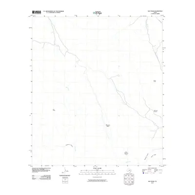
2010 · Sue Peaks
USGS Topo · 1:24,000
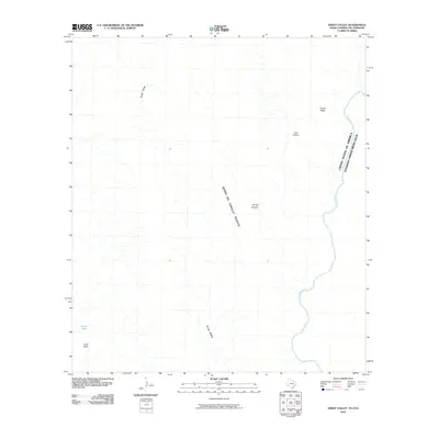
2010 · Ernst Valley
USGS Topo · 1:24,000