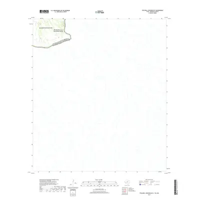
2019 Map of Stillwell Crossing OE S
USGS Topo · Published 2019About this map
Big Bend National Park and the Rio Grande Wild and Scenic River dominate the northwestern corner of this remote borderland study. While much of the terrain is defined by unnamed drainage networks, the Rio Grande serves as the primary topographical and political anchor, carving the boundary between the United States and Mexico. The inclusion of Heath Cr provides a specific point of reference within the protected parklands. This document captures the starkness of the desert frontier, showing the transition from federal park land into the vast, open expanses of the Mexican state of Coahuila. It reflects a modern era of resource management where the focus remains on conservation and international boundary demarcation in a landscape where infrastructure is almost entirely absent.
Find a feature on this map
5 named features on this map. Tap any name to fly to it.
Don’t see what you’re looking for? This feature index may not catch every label — zoom into the map to look around manually.
Map Details
Editions of this 2019 Stillwell Crossing OE S Map
This is the sole edition of this map. No revisions or reprints were ever made.
Other maps of this area

1930 · Stillwell Creek
USGS Topo · 1:62,500

1959 · Emory Peak
USGS Topo · 1:250,000

1965 · Emory Peak
USGS Topo · 1:250,000
1971 · Ernst Valley
USGS Topo · 1:24,000
1971 · Boquillas
USGS Topo · 1:24,000
1971 · Sue Peaks
USGS Topo · 1:24,000
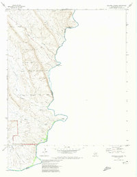
1971 · Stillwell Crossing
USGS Topo · 1:24,000
1984 · Boquillas
USGS Topo · 1:100,000
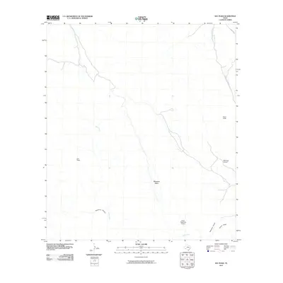
2010 · Sue Peaks
USGS Topo · 1:24,000
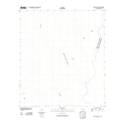
2010 · Ernst Valley
USGS Topo · 1:24,000