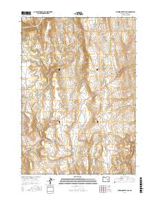
2017 Map of Stinkingwater Pass
USGS Topo · Published 2017About this map
Stinkingwater Pass and the surrounding Stinkingwater Mountains characterize this high-desert landscape in Harney County. The distribution of water sources is the primary indicator of human activity and land use, with numerous named springs and reservoirs scattered across the terrain. Notable watering points such as Buchanan Springs, Crystal Spring, and Indian Grade Spring suggest a history tied to livestock and ranching. The presence of several man-made impoundments, including Juniper Spring Reservoir, Lazy Man Reservoir, and Steer Ridge Reservoir, further illustrates the ongoing efforts to manage water in this arid environment. Transportation through the area is defined by the central highway crossing the pass and secondary routes like Pine Creek Rd, connecting broad, flat areas such as Sagebrush Flat and Negro Flat to the mountain drainage systems of Pine Cr and Little Rock Cr.
Find a feature on this map
32 named features on this map. Tap any name to fly to it.
Don’t see what you’re looking for? This feature index may not catch every label — zoom into the map to look around manually.
Map Details
Editions of this 2017 Stinkingwater Pass Map
This is the sole edition of this map. No revisions or reprints were ever made.
Other maps of this area

1955 · Burns
USGS Topo · 1:250,000

1958 · Burns
USGS Topo · 1:250,000

1959 · Burns
USGS Topo · 1:250,000

1968 · Drewsey
USGS Topo · 1:62,500

1968 · Van
USGS Topo · 1:62,500

1973 · Buchanan
USGS Topo · 1:24,000

1973 · Mahon Creek
USGS Topo · 1:24,000

1973 · Carson Point
USGS Topo · 1:24,000
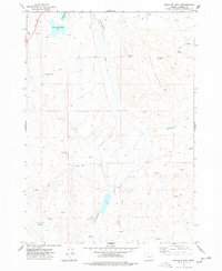
1977 · Bartlett Mtn
USGS Topo · 1:24,000
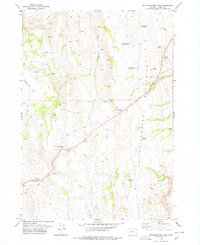
1978 · Stinkingwater Pass
USGS Topo · 1:24,000