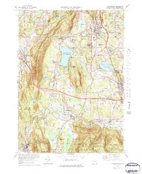
1973 Map of Stockbridge
USGS Topo · Published 1984About this map
Stockbridge and its surrounding villages center on the winding Housatonic River during a period of established cultural and academic growth in the Berkshires. The map documents a landscape defined by significant institutions, including the Tanglewood Auditorium north of Stockbridge Bowl and the Chesterwood Museum near Glendale. The arrival of the Massachusetts Turnpike creates a modern east-west corridor through the traditional settlement patterns of Lee and South Lee, contrasting with the older transit routes of the Penn Central railroad that follow the river valley.
Find a feature on this map
68 named features on this map. Tap any name to fly to it.
Don’t see what you’re looking for? This feature index may not catch every label — zoom into the map to look around manually.
Map Details
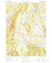
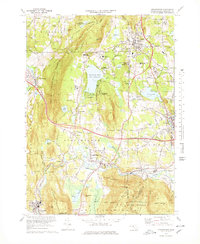
Editions of this 1973 Stockbridge Map
3 editions found
Other maps of this area

1885 · Sheffield
USGS Topo · 1:62,500

1886 · Becket
USGS Topo · 1:62,500

1888 · Sheffield
USGS Topo · 1:62,500

1888 · Becket
USGS Topo · 1:62,500

1888 · Sandisfield
USGS Topo · 1:62,500

1888 · Pittsfield
USGS Topo · 1:62,500

1890 · Pittsfield
USGS Topo · 1:62,500

1891 · Sheffield
USGS Topo · 1:62,500

1893 · Becket
USGS Topo · 1:62,500

1893 · Sheffield
USGS Topo · 1:62,500