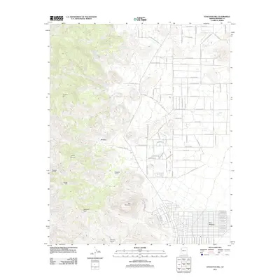
2011 Map of Stockton Hill
USGS Topo · Published 2011About this map
Stockton Hill and the surrounding heights of the Cerbat Mountains dominate this corner of Mohave County as it appeared in the early 21st century. The landscape is defined by its sharp elevation changes, where named peaks like Cerbat Peak, Silver Mountain, and Mayswell Peak rise above deep drainage systems such as Charcoal Canyon and Johnston Canyon. Historical water sources, including C O D Spring, Gaddis Spring, and Canyon Station Spring, are vital landmarks in this arid terrain, suggesting the long-standing importance of reliable water for early mining and ranching interests in the area.
Find a feature on this map
102 named features on this map. Tap any name to fly to it.
Don’t see what you’re looking for? This feature index may not catch every label — zoom into the map to look around manually.
Map Details
Editions of this 2011 Stockton Hill Map
This is the sole edition of this map. No revisions or reprints were ever made.
Other maps of this area

1886 · Diamond Creek
USGS Topo · 1:250,000

1886 · Camp Mohave
USGS Topo · 1:250,000

1892 · Diamond Creek
USGS Topo · 1:250,000

1892 · Camp Mohave
USGS Topo · 1:250,000

1939 · Chloride
USGS Topo · 1:48,000

1942 · Camp Mohave
USGS Topo · 1:250,000

1944 · Chloride
USGS Topo · 1:62,500

1947 · Kingman
USGS Topo · 1:250,000

1948 · Kingman
USGS Topo · 1:250,000

1948 · Williams
USGS Topo · 1:250,000