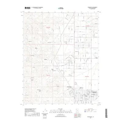
2018 Map of Stockton Hill
USGS Topo · Published 2018About this map
The Cerbat Mountains dominate the western half of this 2018 survey, rising above the arid floor of the Mojave Desert. This landscape includes prominent local summits such as Cerbat Peak, Silver Mtn, and Bull Mtn, alongside deeply carved drainages like Johnston Canyon and Charcoal Canyon. This area provides a look at the suburban expansion and terrain north of Kingman, where modern residential streets in New Kingman-Butler meet the rugged foothills.
Find a feature on this map
150 named features on this map. Tap any name to fly to it.
Don’t see what you’re looking for? This feature index may not catch every label — zoom into the map to look around manually.
Map Details
Editions of this 2018 Stockton Hill Map
This is the sole edition of this map. No revisions or reprints were ever made.
Other maps of this area

1886 · Diamond Creek
USGS Topo · 1:250,000

1886 · Camp Mohave
USGS Topo · 1:250,000

1892 · Diamond Creek
USGS Topo · 1:250,000

1892 · Camp Mohave
USGS Topo · 1:250,000

1939 · Chloride
USGS Topo · 1:48,000

1942 · Camp Mohave
USGS Topo · 1:250,000

1944 · Chloride
USGS Topo · 1:62,500

1947 · Kingman
USGS Topo · 1:250,000

1948 · Kingman
USGS Topo · 1:250,000

1948 · Williams
USGS Topo · 1:250,000