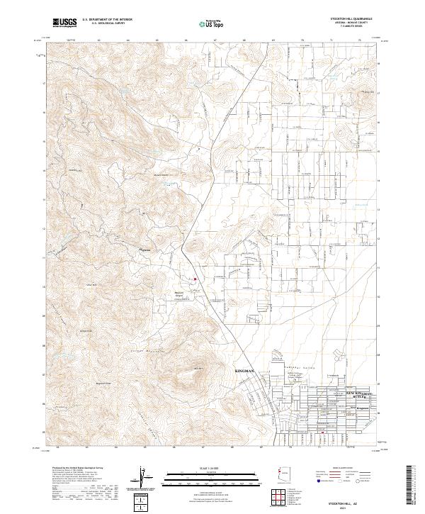
2021 Map of Stockton Hill
USGS Topo · Published 2021About this map
The Cerbat Mountains dominate this high-desert landscape in Mohave County, where modern suburban expansion from the south meets the historic mining and ranching terrain of the north. The area around Stockton Hill and Stockton transitions from the rugged topography of Cerbat Peak and Mayswell Peak into the expansive Hualapai Valley. Settlement patterns here are tied to water sources like Canyon Station Spring, C.O.D Spring, and Merit Spring, which have sustained activity in the Mojave Desert for generations. In the southern portion of the sheet, the northern reaches of Kingman and the community of New Kingman-Butler show significant residential development, anchored by the Mohave Community College-Neal Campus. This 2021 survey illustrates how contemporary infrastructure, such as Stockton Hill Rd, now connects these growing communities to the canyons and washes that once defined the local economy.
Find a feature on this map
151 named features on this map. Tap any name to fly to it.
Don’t see what you’re looking for? This feature index may not catch every label — zoom into the map to look around manually.
Map Details
Editions of this 2021 Stockton Hill Map
This is the sole edition of this map. No revisions or reprints were ever made.
Other maps of this area

1886 · Diamond Creek
USGS Topo · 1:250,000

1886 · Camp Mohave
USGS Topo · 1:250,000

1892 · Diamond Creek
USGS Topo · 1:250,000

1892 · Camp Mohave
USGS Topo · 1:250,000

1939 · Chloride
USGS Topo · 1:48,000

1942 · Camp Mohave
USGS Topo · 1:250,000

1944 · Chloride
USGS Topo · 1:62,500

1947 · Kingman
USGS Topo · 1:250,000

1948 · Kingman
USGS Topo · 1:250,000

1948 · Williams
USGS Topo · 1:250,000