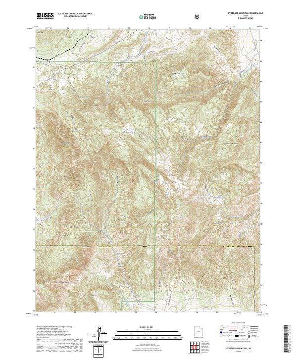
2023 Map of Stoddard Mountain
USGS Topo · Published 2023About this map
Dixie National Forest dominates the southern reaches of this landscape where the high peaks of the Harmony Mountains and Pine Valley Mountains converge. The topography is defined by a dense network of drainages including Quichapa Creek and Pinto Creek, which carve deep passages like Culbert Canyon and Stoddard Canyon. The area is marked by numerous high-altitude water sources, such as Bumblebee Lake, and named springs including Hidden Spring and Rock Spring. Human presence is traced through high-country trails like the Dry Lakes South Trl and the route of Old State Hwy 144, which winds through the rugged terrain between Bald Hill and Granite Mtn. This intersection of major mountain ranges provides a detailed look at the hydrology and pass-routes of the Iron and Washington county borderlands.
Find a feature on this map
57 named features on this map. Tap any name to fly to it.
Don’t see what you’re looking for? This feature index may not catch every label — zoom into the map to look around manually.
Map Details
Editions of this 2023 Stoddard Mountain Map
This is the sole edition of this map. No revisions or reprints were ever made.
Other maps of this area

1885 · St. George
USGS Topo · 1:250,000

1891 · St. George
USGS Topo · 1:250,000

1949 · Cedar City NW
USGS Topo · 1:24,000

1950 · Cedar City NW
USGS Topo · 1:24,000

1950 · Kanarraville
USGS Topo · 1:24,000

1950 · Iron Mountain
USGS Topo · 1:62,500

1950 · Cedar City
USGS Topo · 1:62,500

1950 · Stoddard Mtn
USGS Topo · 1:24,000

1950 · Silver Peak
USGS Topo · 1:24,000

1950 · Desert Mound
USGS Topo · 1:24,000