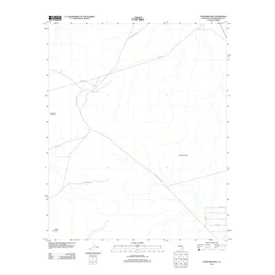
2012 Map of Stoddard Well
USGS Topo · Published 2012About this map
Stoddard Well serves as the namesake water source for this high desert landscape, situated between the distinct heights of Stoddard Mountain to the west and Stoddard Ridge to the east. The terrain is marked by a network of utilitarian desert tracks and access roads, including the Lucerne Valley Cutoff and Stoddard Valley Rd, which cross the arid valley floors. Evidence of local activity and land use is found in labels such as Farley Mine Rd, suggesting the area's mining history, and the more remote Sorrel Trl winding through the western foothills. In the southern reaches, the elevation rises toward Black Mountain, while a small grid of residential or agricultural streets like Gazelle Rd and Althouse Rd begins to appear in the southeast corner near the transition to the Lucerne Valley floor.
Find a feature on this map
13 named features on this map. Tap any name to fly to it.
Don’t see what you’re looking for? This feature index may not catch every label — zoom into the map to look around manually.
Map Details
Editions of this 2012 Stoddard Well Map
This is the sole edition of this map. No revisions or reprints were ever made.
Other maps of this area

1932 · Barstow
USGS Topo · 1:125,000

1934 · Barstow
USGS Topo · 1:125,000

1953 · San Bernardino
USGS Topo · 1:250,000

1955 · Ord Mountains
USGS Topo · 1:62,500

1956 · San Bernardino
USGS Topo · 1:250,000

1956 · Daggett
USGS Topo · 1:62,500

1956 · Barstow
USGS Topo · 1:62,500

1957 · Apple Valley
USGS Topo · 1:62,500

1957 · San Bernardino
USGS Topo · 1:250,000

1958 · San Bernardino
USGS Topo · 1:250,000