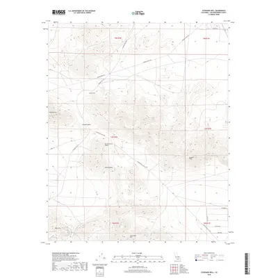
2018 Map of Stoddard Well
USGS Topo · Published 2018About this map
Stoddard Well stands as a focal point in this high-desert landscape of San Bernardino County, situated between the prominences of Stoddard Mtn and Stoddard Ridge. The terrain is characterized by the expansive Stoddard Valley and the northern reaches of the North Lucerne Valley, where the open reaches of the Mojave Desert are etched with a network of desert roads and trails. Historical transit across this arid environment is evidenced by the Stoddard Wells Rd and the Lucerne Valley Cutoff, which facilitate movement between the localized mountain peaks like Black Mtn and Sidewinder Mtn. This 2018 survey illustrates the persistent importance of limited water sources and established desert crossings in an area defined by its complex topography and isolated summits.
Find a feature on this map
23 named features on this map. Tap any name to fly to it.
Don’t see what you’re looking for? This feature index may not catch every label — zoom into the map to look around manually.
Map Details
Editions of this 2018 Stoddard Well Map
This is the sole edition of this map. No revisions or reprints were ever made.
Other maps of this area

1932 · Barstow
USGS Topo · 1:125,000

1934 · Barstow
USGS Topo · 1:125,000

1953 · San Bernardino
USGS Topo · 1:250,000

1955 · Ord Mountains
USGS Topo · 1:62,500

1956 · San Bernardino
USGS Topo · 1:250,000

1956 · Daggett
USGS Topo · 1:62,500

1956 · Barstow
USGS Topo · 1:62,500

1957 · Apple Valley
USGS Topo · 1:62,500

1957 · San Bernardino
USGS Topo · 1:250,000

1958 · San Bernardino
USGS Topo · 1:250,000